
Modelling the Real World. Building Intelligent Digital Environments.
Transforming imagery, LiDAR and geospatial data into accurate, realistic and intelligent 3D environments for urban planning, infrastructure, engineering, visualization and Digital Twin applications.
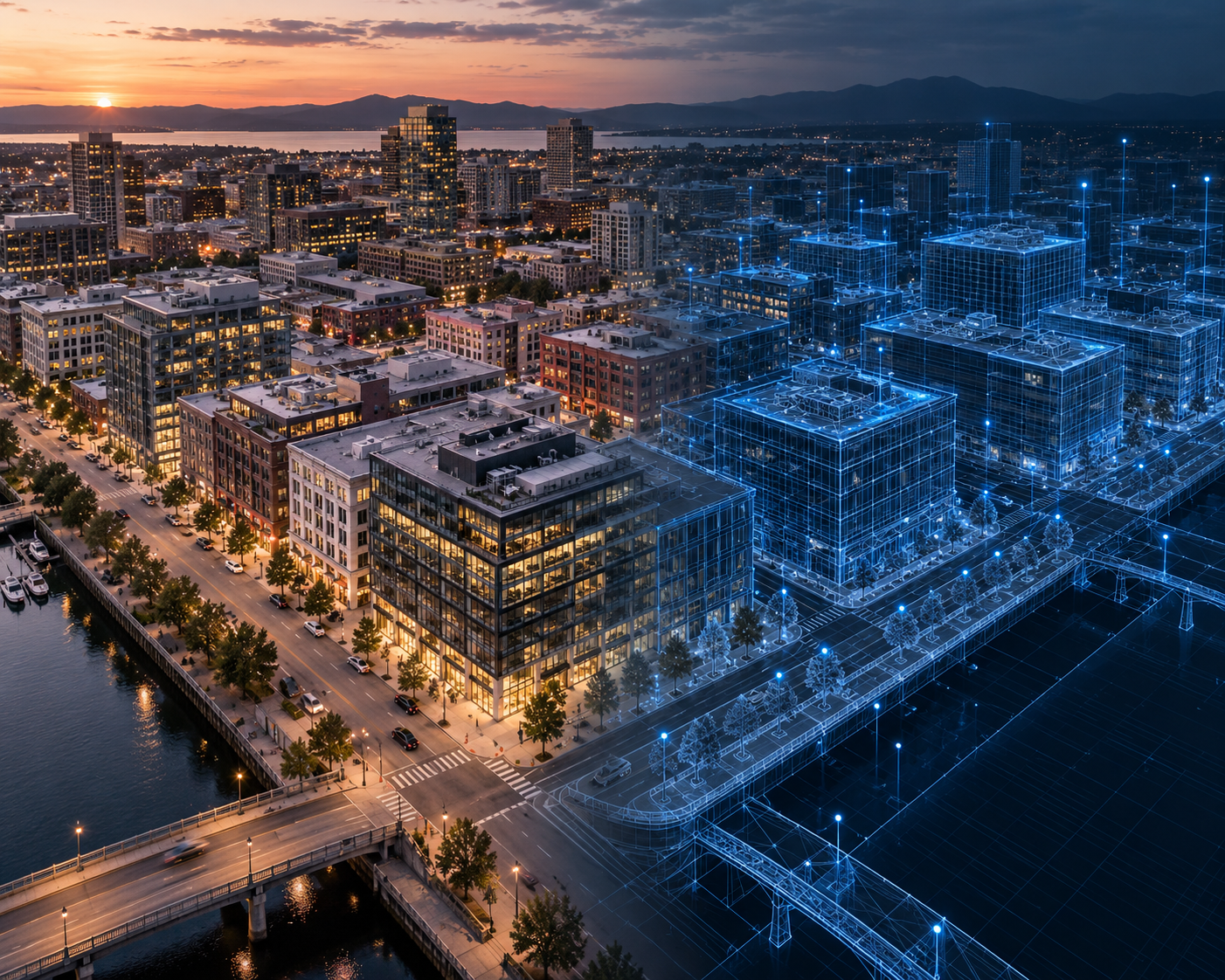
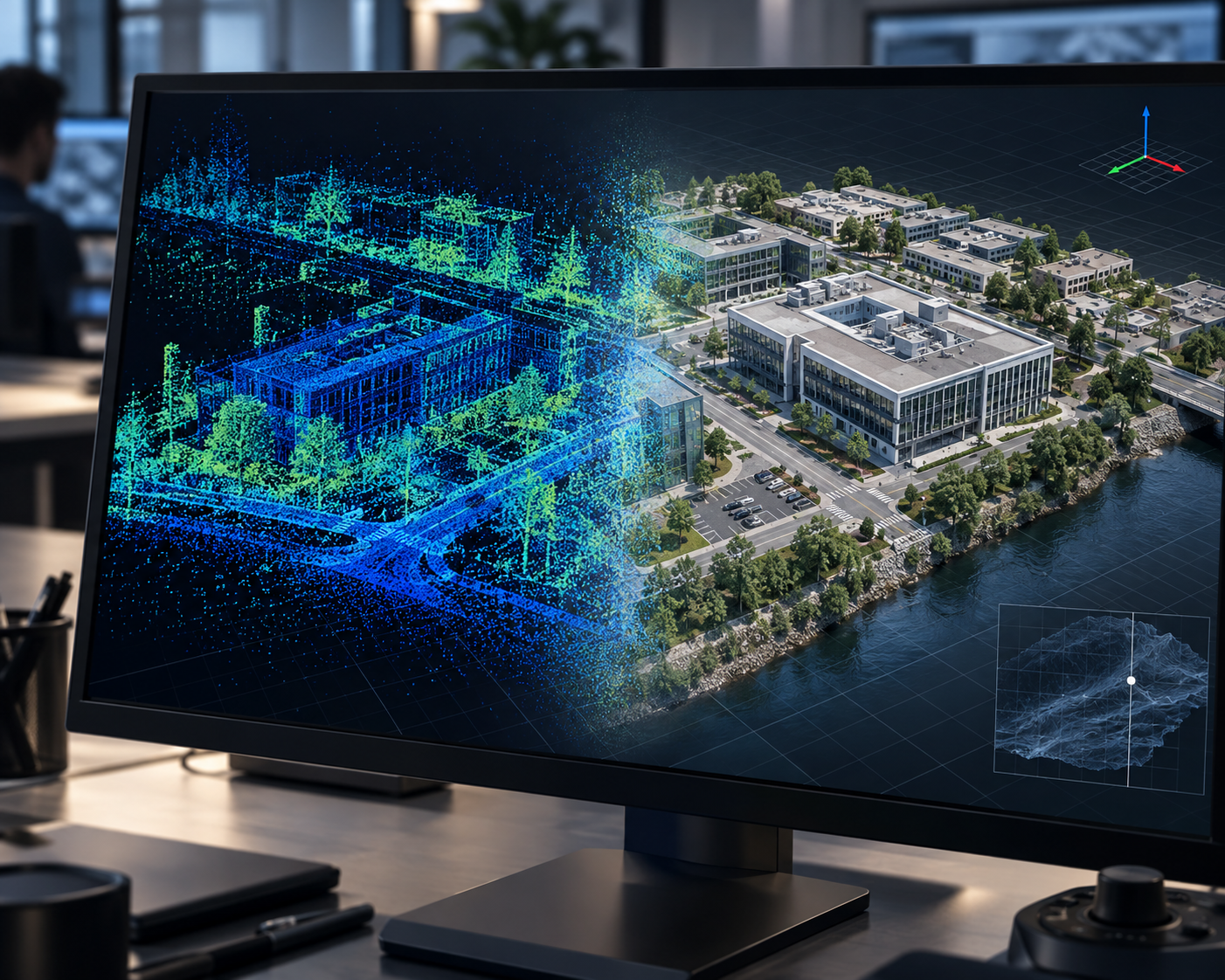
From Spatial Data to Digital Reality
Modern 3D city models are more than visual representations. They provide a spatially accurate digital foundation for understanding buildings, infrastructure, terrain and the urban environment.
TriCAD combines Photogrammetry, LiDAR, GIS and 3D modelling expertise to transform multiple sources of spatial information into detailed, georeferenced 3D environments.
From individual buildings and infrastructure assets to large-scale urban environments, our 3D models support visualization, planning, engineering analysis, asset management, simulation and Digital Twin applications.
Our 3D Modelling Capabilities
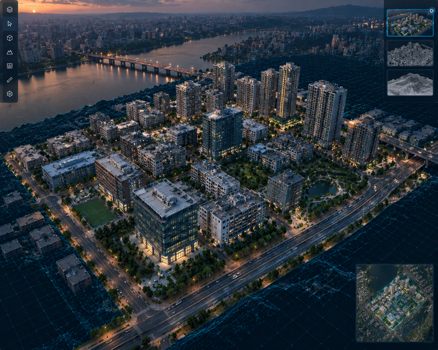
3D City Modelling
Creation of accurate, georeferenced 3D city environments representing buildings, terrain, transportation networks and urban infrastructure from stereo.
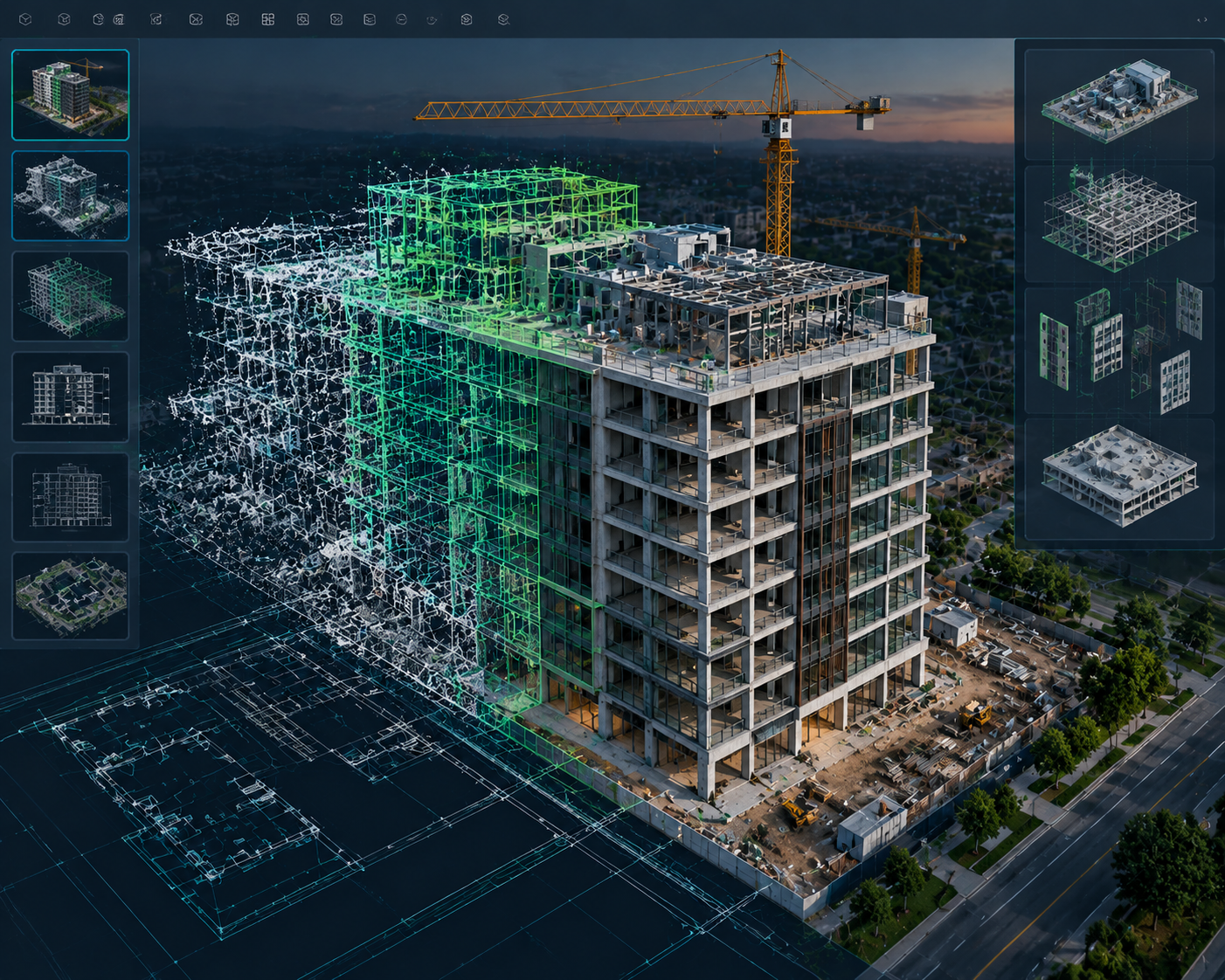
3D Building Modelling
Detailed modelling of buildings and structures from aerial imagery, LiDAR, point clouds, CAD drawings and other geospatial sources.
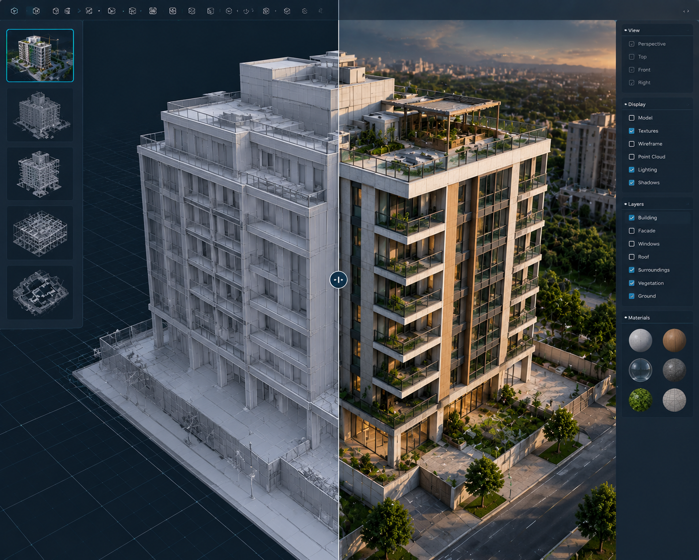
Auto-Texturing & Realistic Visualization
Transforming geometric models into visually realistic environments through automated and semi-automated image-based texturing.
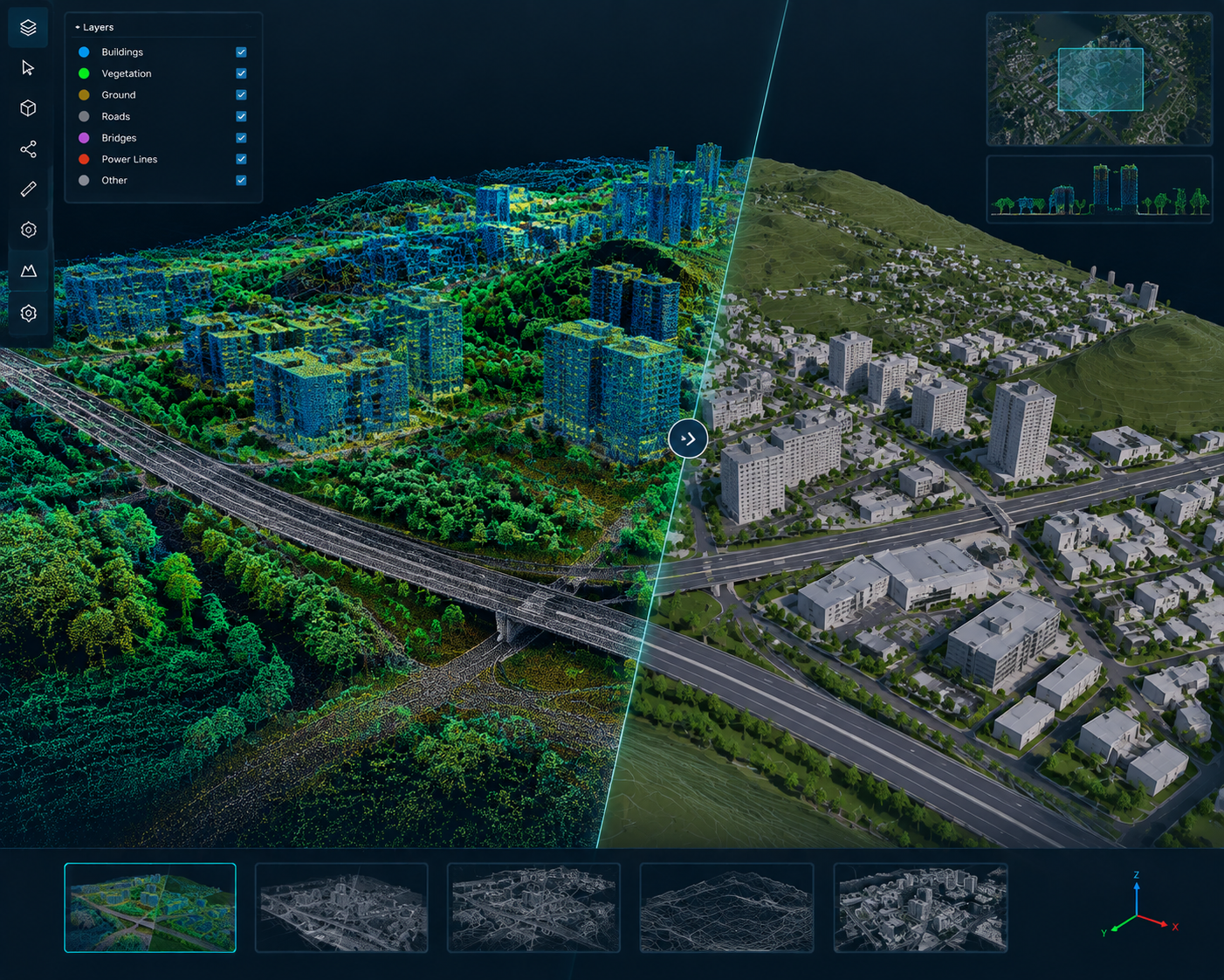
LiDAR & Point Cloud to 3D
Transforming classified LiDAR and point-cloud information into structured 3D representations of buildings, terrain and infrastructure assets.
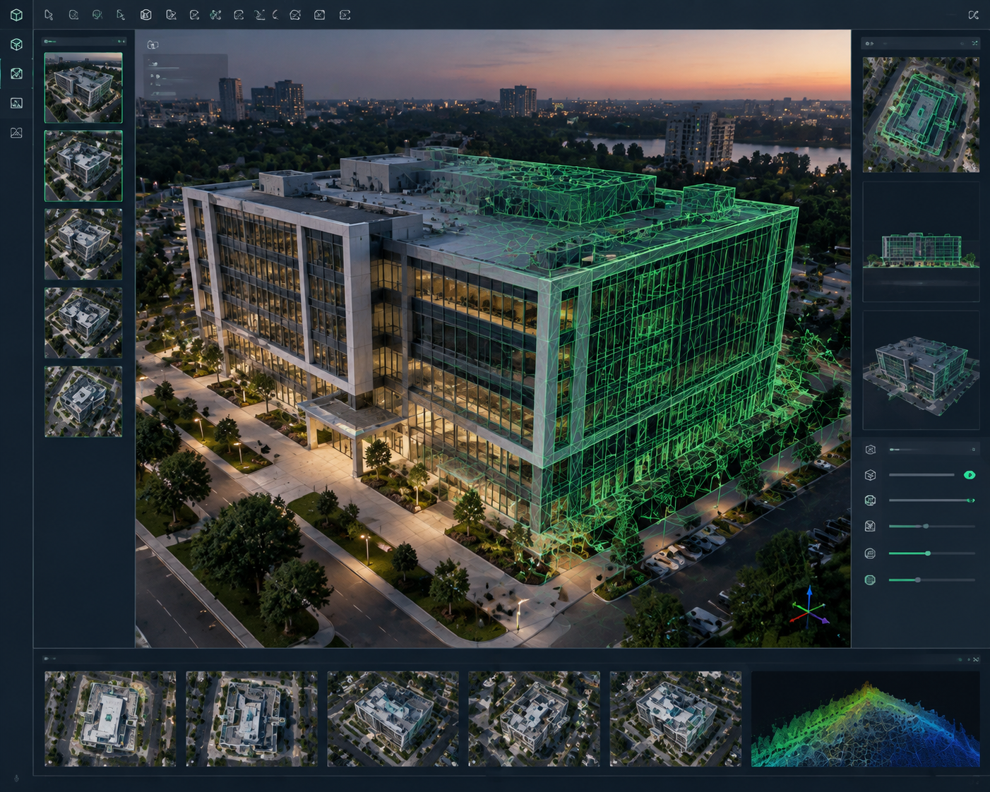
Mesh Modelling
Creation of high-detail 3D reality models from overlapping imagery, UAV data and LiDAR for engineering, visualization and spatial analysis.
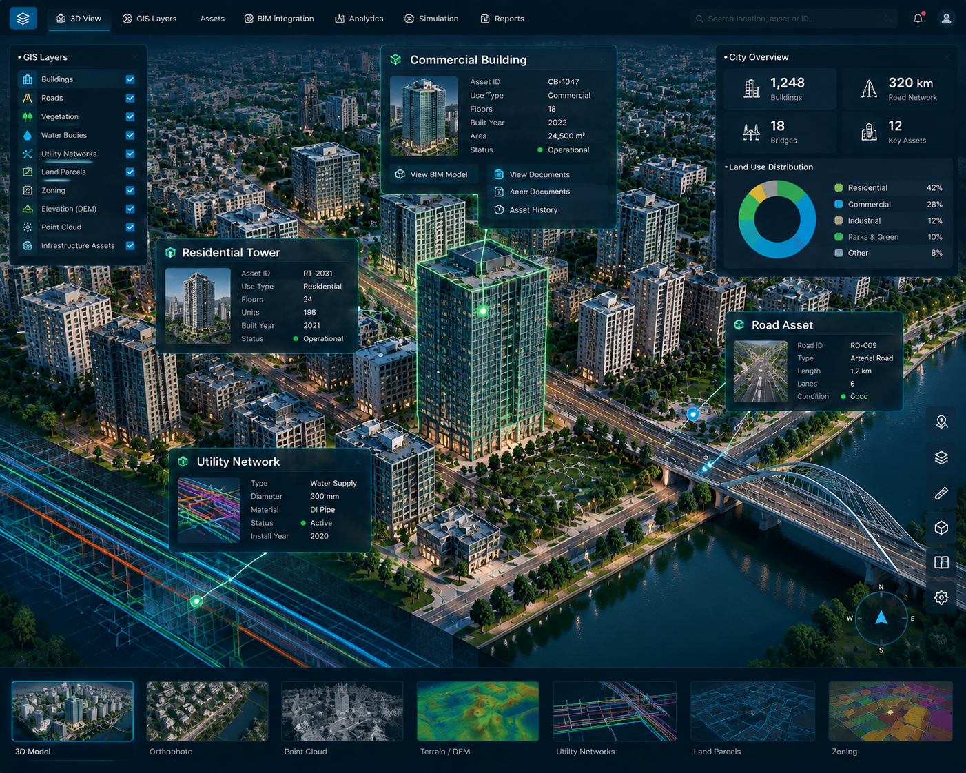
3D GIS & Digital Twin-Ready Models
Integration of geometry with geospatial and asset information to create intelligent 3D environments suitable for GIS, BIM and Digital Twin applications.
BRING THE REAL WORLD INTO 3D.
Transform imagery, LiDAR and spatial data into accurate 3D environments for planning, engineering, visualization and Digital Twin applications.