Engineering Smarter. Automating What Matters.
Applying AI, automation and domain intelligence to transform complex engineering and geospatial data into faster, more accurate and scalable outcomes.
AI for Real-World Engineering
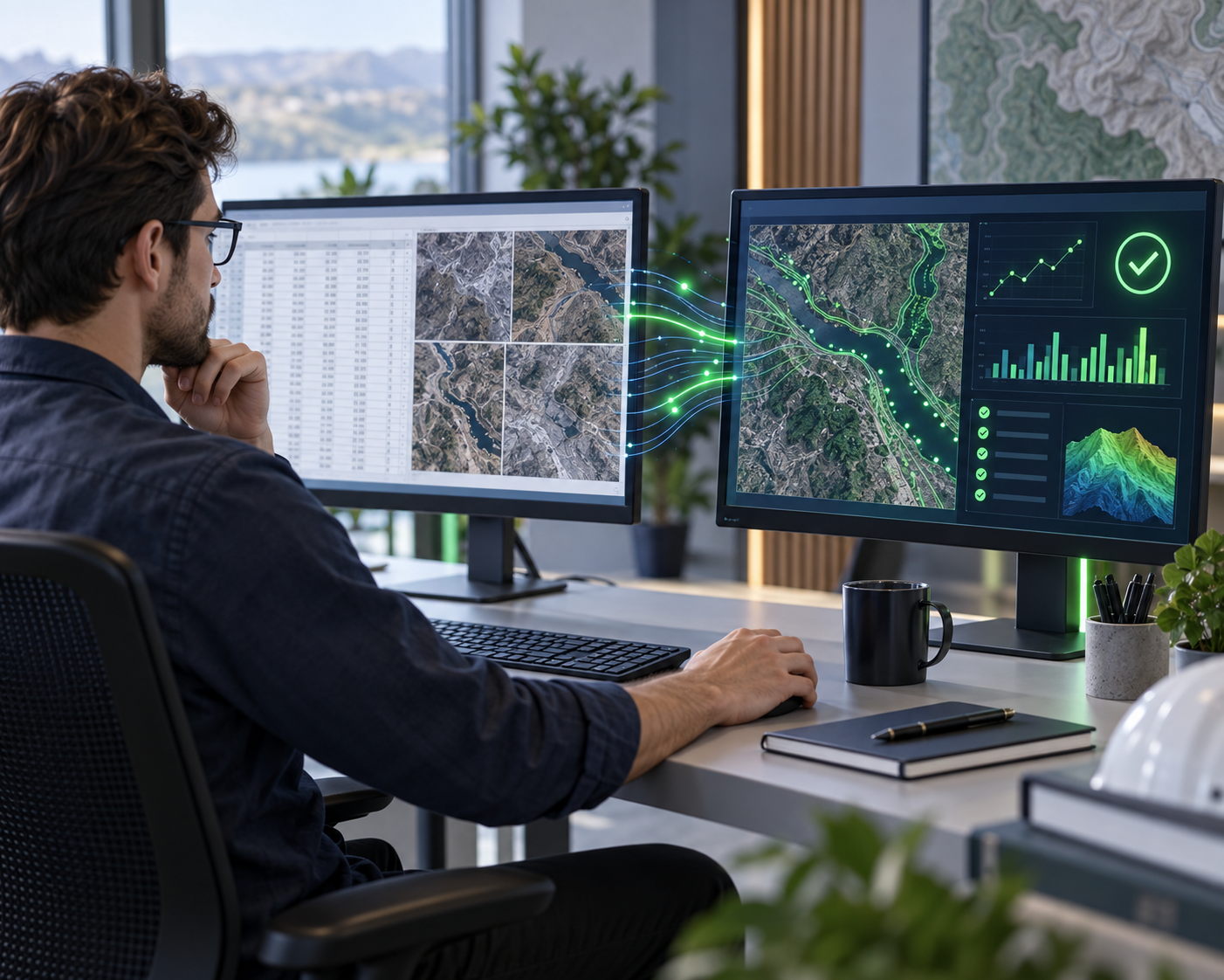
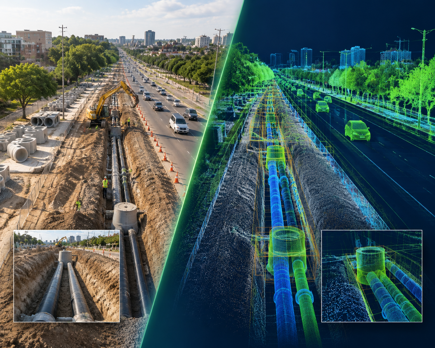
AI creates the most value when it is applied to clearly defined engineering problems. In Telecom and Geospatial projects, large volumes of imagery, LiDAR, GIS and engineering data often require repetitive interpretation, classification, extraction and validation.
TriCAD brings together domain experts, trained data teams and technology-driven workflows to help automate these activities while maintaining human oversight and quality control.
Our approach is simple: Domain Knowledge + Quality Data + Automation + Human Validation. This is an important differentiator for TriCAD.
Our AI Engineering Expertise
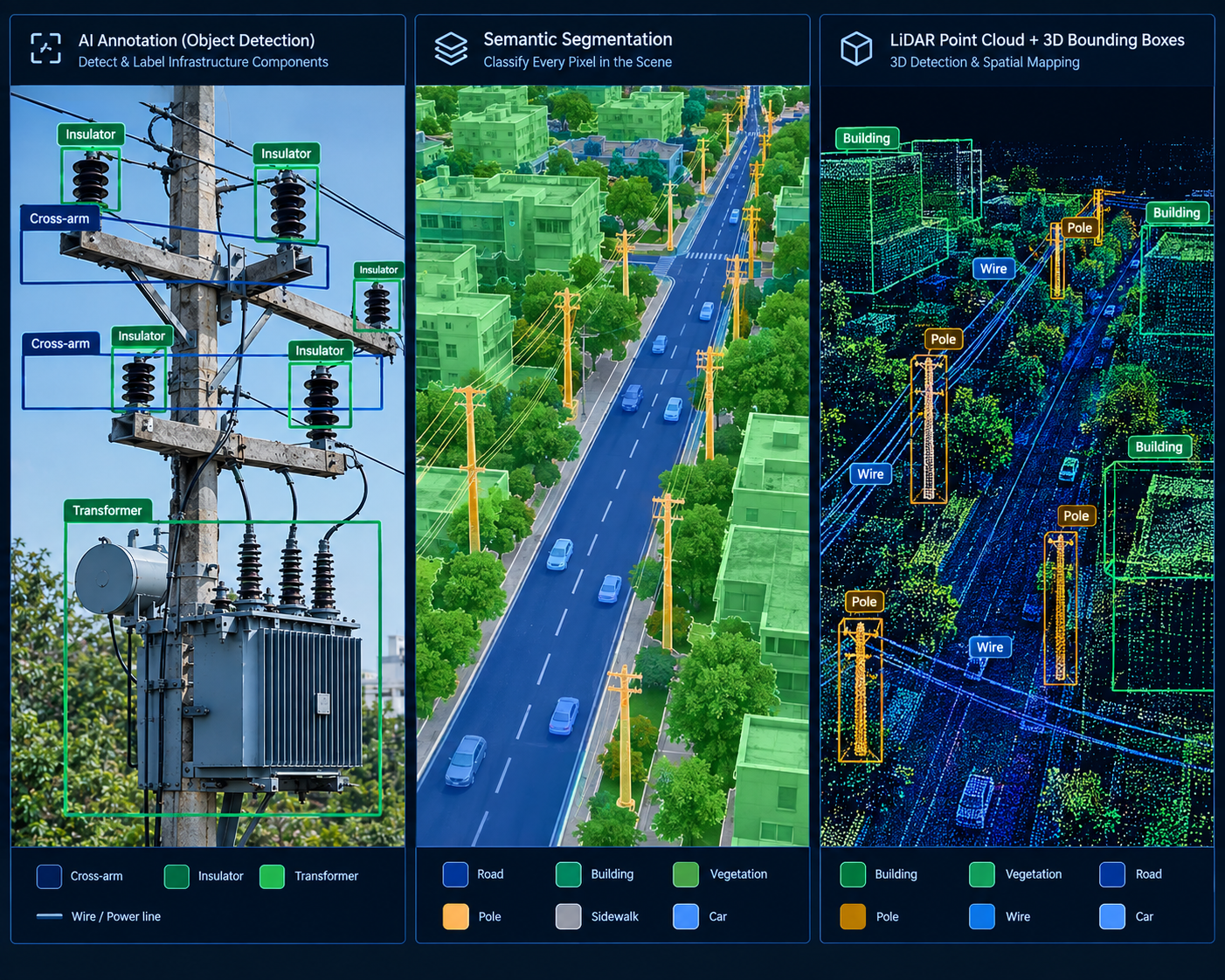
Data Annotation & AI Training Data
Creating high-quality, structured datasets for training and improving AI and computer vision models.
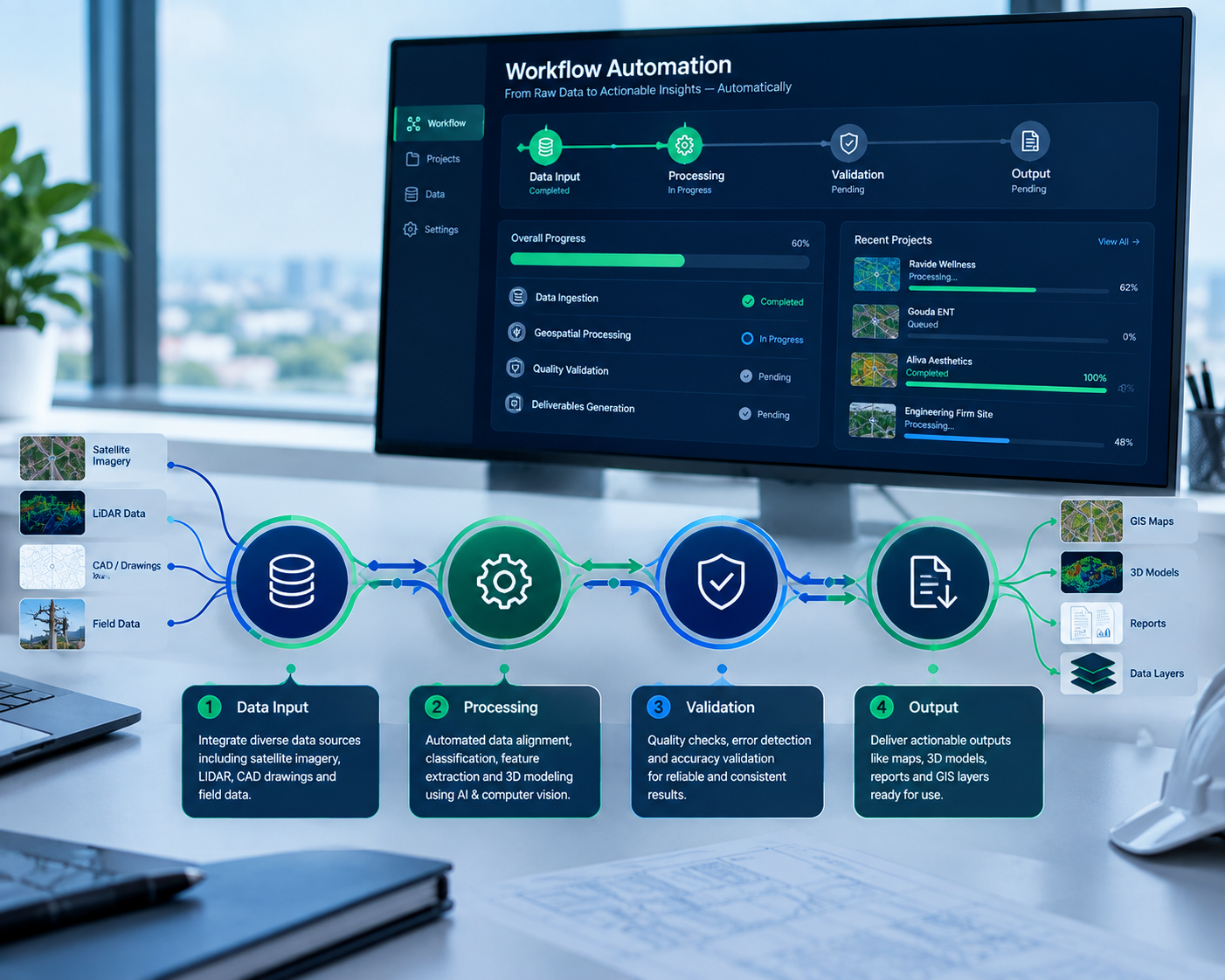
Engineering Workflow Automation
Automating repetitive engineering and data-processing activities to improve productivity, consistency and turnaround time.
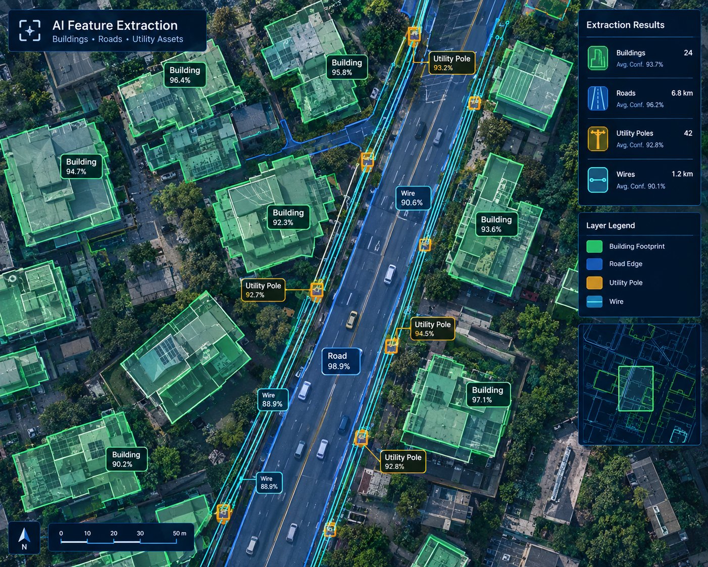
AI-Assisted Feature & Asset Extraction
Using AI and computer vision techniques to support the identification and extraction of engineering and geospatial features from imagery, LiDAR and spatial datasets.
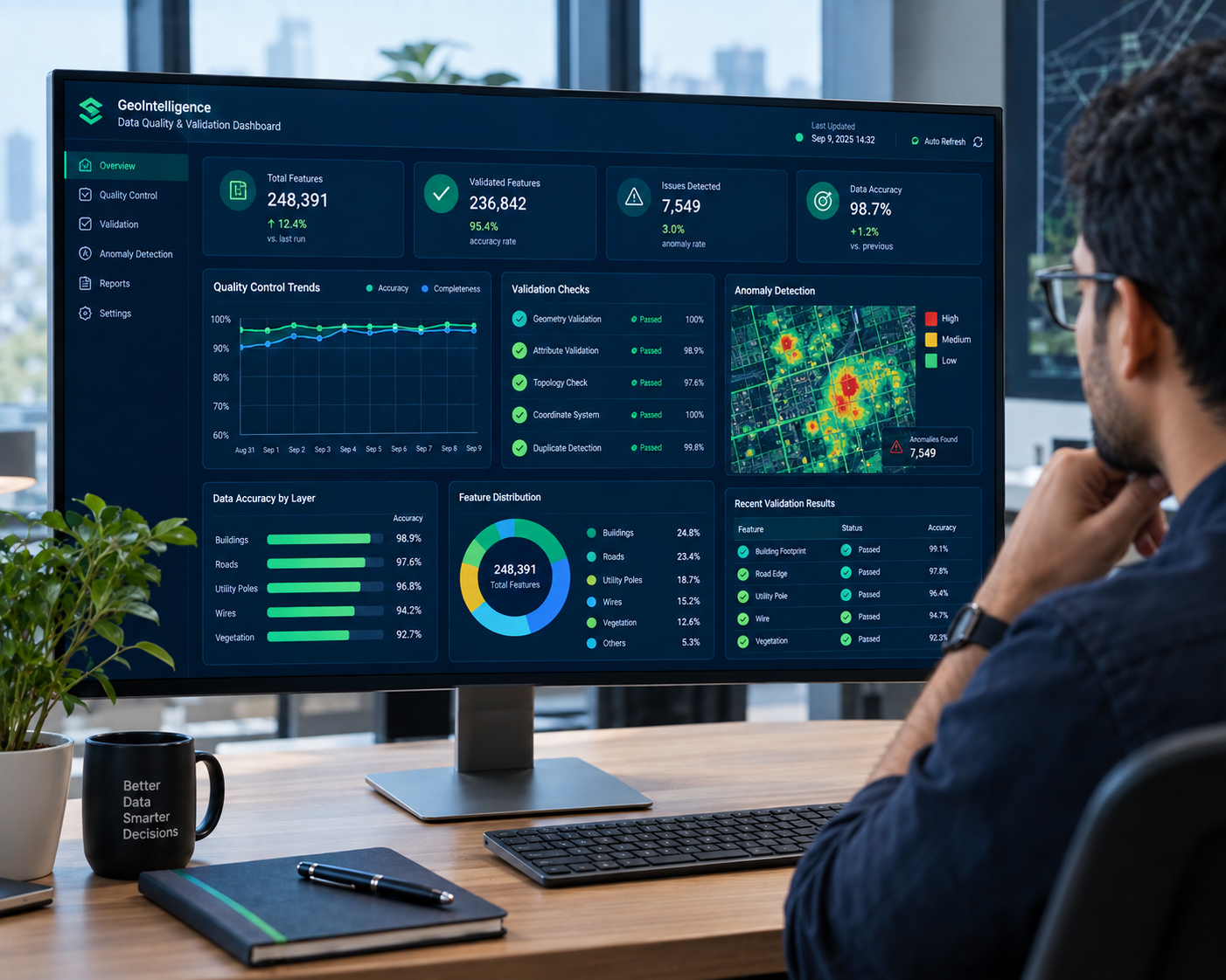
AI-Enabled Quality & Data Intelligence
Using intelligent rules, automation and AI-assisted methods to identify inconsistencies, improve data quality and support engineering review.
START WITH A USE CASE. SCALE WITH CONFIDENCE.
From data annotation and workflow automation to AI-assisted feature extraction, apply AI where it creates measurable engineering value.