
Capturing Reality. Creating Spatial Intelligence.
Transforming aerial, UAV, satellite and terrestrial imagery into accurate 2D, 3D and engineering-ready geospatial information for infrastructure planning, design, mapping and decision-making.
Photogrammetry for a Digital Engineering World
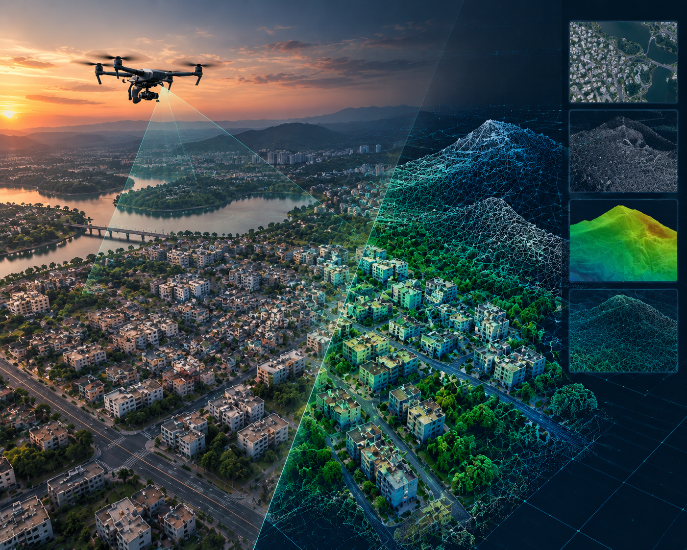
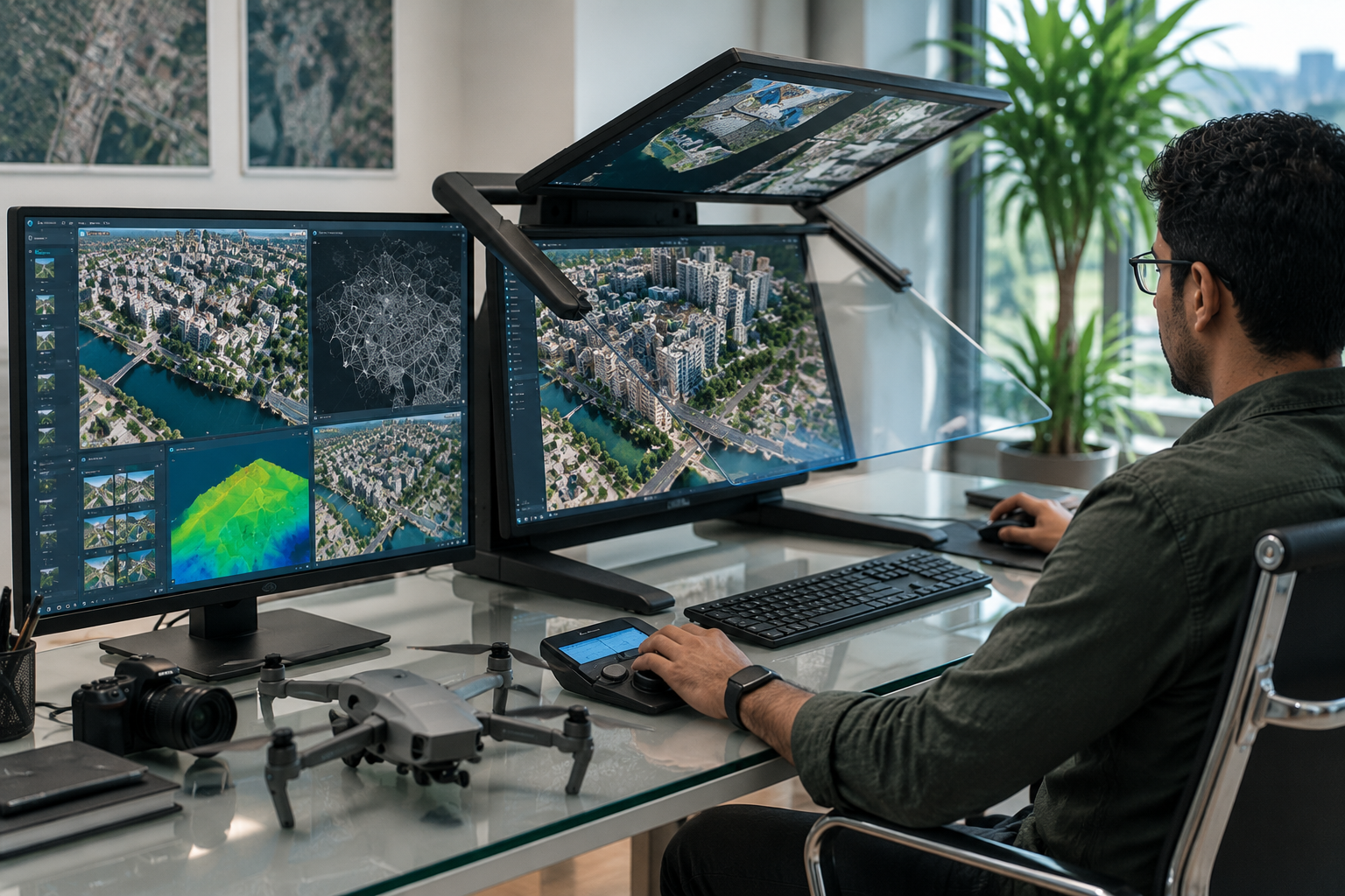
Photogrammetry has evolved beyond traditional mapping. Today, it plays an integral role in Reality Capture, Infrastructure Engineering, 3D Mapping, BIM and Digital Twin workflows.
TriCAD combines decades of photogrammetric and geospatial expertise with advanced processing technologies to transform aerial, UAV, satellite and terrestrial imagery into accurate, application-ready spatial information.
From large-area mapping to detailed 3D reconstruction, our workflows are built around accuracy, scalability, interoperability and quality-driven delivery.
Our Photogrammetry Capabilities
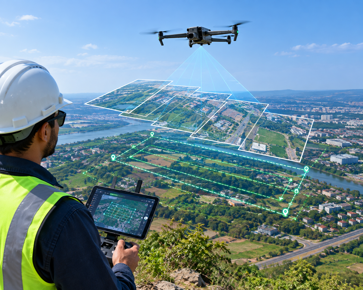
Aerial & UAV Photogrammetry
High-accuracy processing of aerial and UAV imagery for mapping, infrastructure planning and engineering applications.
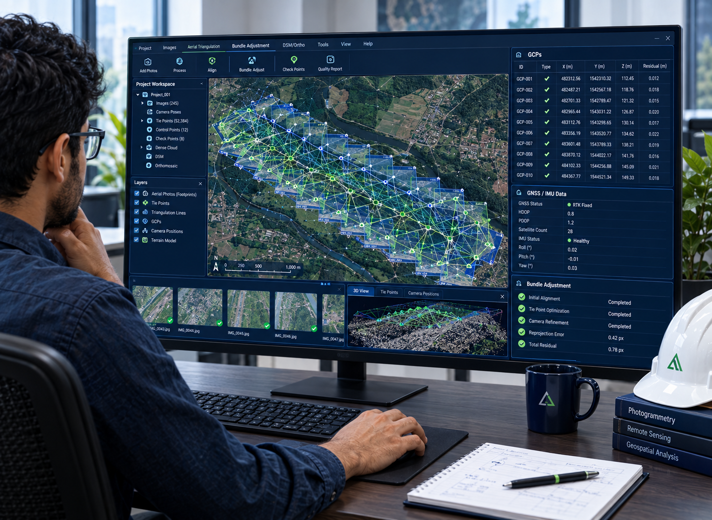
Aerial Triangulation & Bundle Adjustment
Precise image orientation and block adjustment using camera parameters, ground control and GNSS/IMU information to establish reliable spatial geometry.
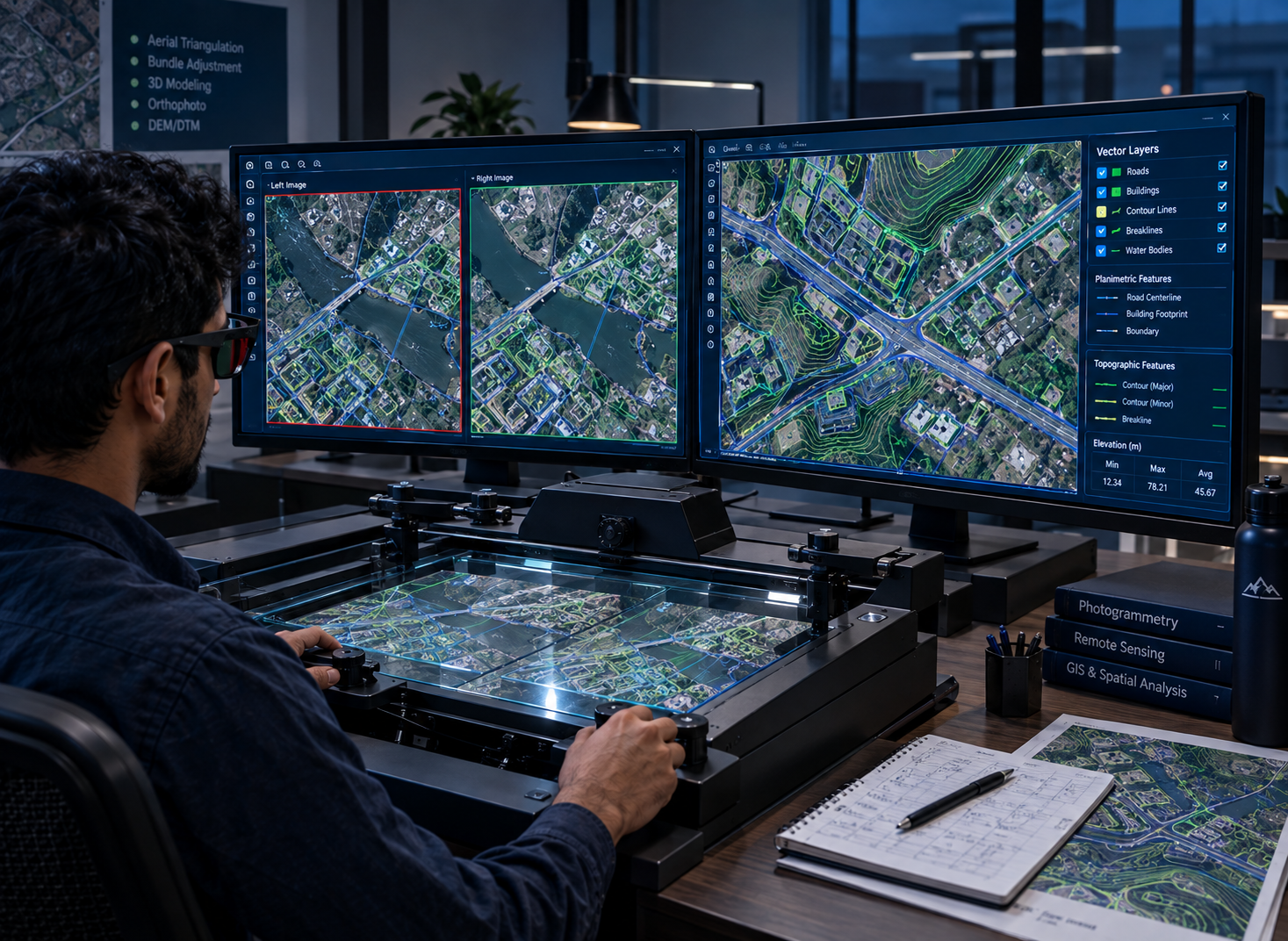
3D Stereo Compilation & Mapping
Accurate extraction of terrain, buildings, transportation networks, utilities and other spatial features from stereo imagery.
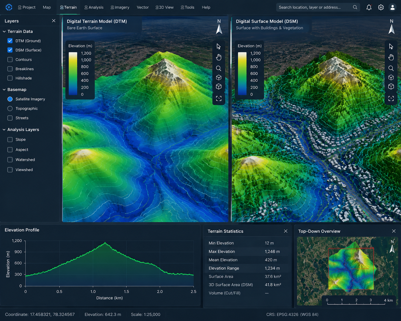
DTM, DSM & Terrain Intelligence
Generation of accurate terrain and surface information supporting engineering design, infrastructure planning and geospatial analysis.
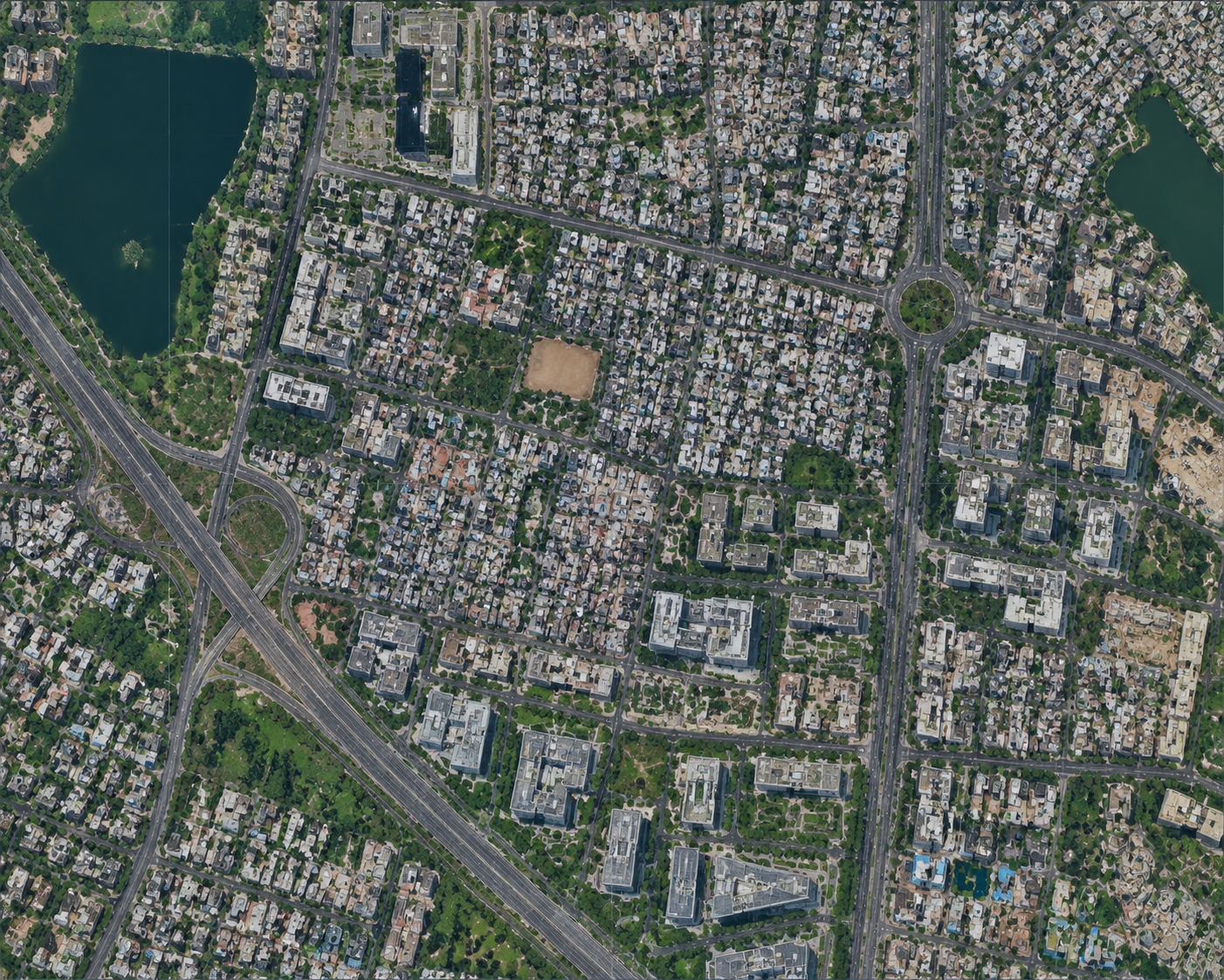
Orthophoto & True Ortho Production
Production of geometrically corrected, high-resolution imagery for GIS, engineering, urban planning and infrastructure applications.
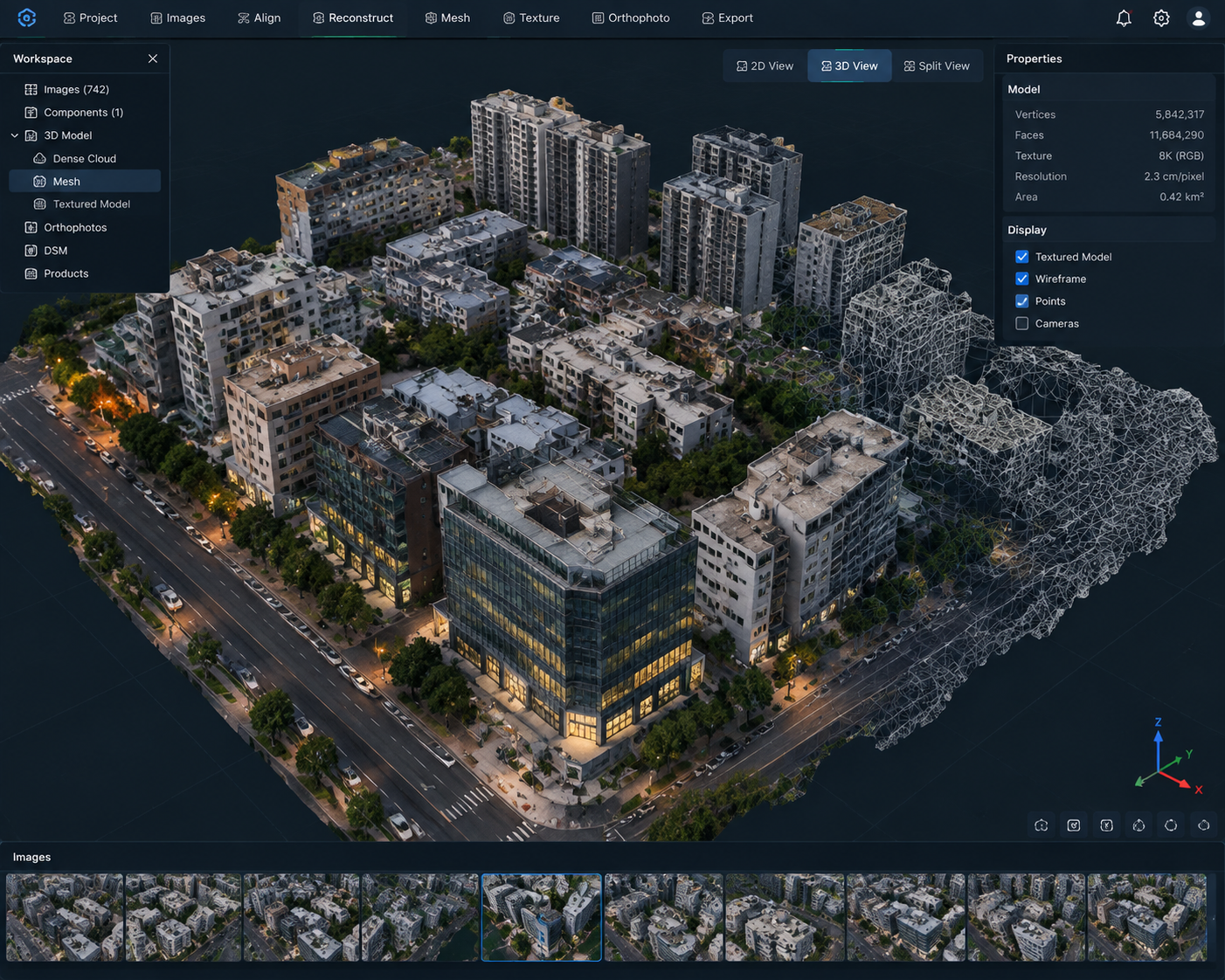
3D Reality Modelling
Transforming overlapping imagery into detailed point clouds, textured meshes and realistic 3D environments for visualization, measurement and engineering applications.
Our Volumes of Experience
Delivery metrics from completed photogrammetry and geospatial mapping programs.
- 56,180 sq.kmOrtho Photo Generation (2cm–10cm GSD)
- 58,130 sq.kmDEM Editing (Stereo & LiDAR)
- 2,980 sq.kmPlanimetric Stereo Mapping (1:50–1:1000)
- 3,586 sq.kmLiDAR Classification (Advanced)
- 2,000 kmMobile Mapping
- 8,000+LOD3 Buildings (Stereo & LiDAR)
TURN IMAGERY INTO INTELLIGENCE.
Transform aerial, UAV and satellite imagery into accurate, engineering-ready geospatial information for your next project.