
- Home
- Technology Solutions
Leading Technologies, Trusted Solutions
Partnering with globally recognized technology providers, TriCAD brings industry-leading Geospatial and Engineering solutions to customers across our markets.

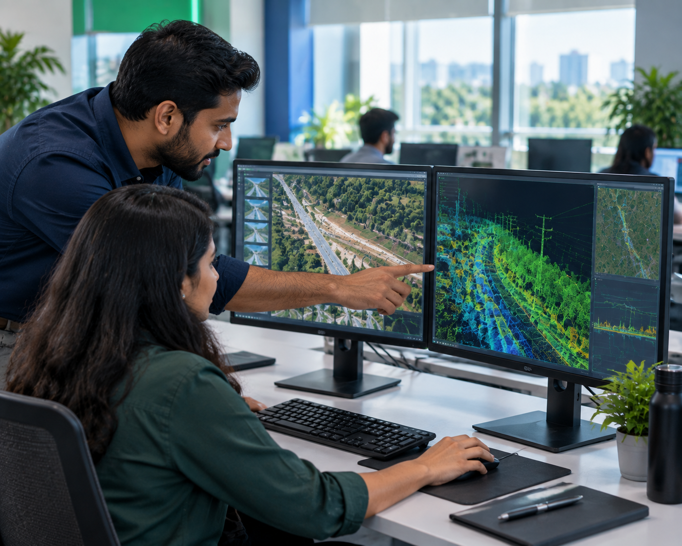
Trusted Software, Backed by Local Expertise
As an authorized reseller, TriCAD combines global software leadership with local implementation support — helping clients across telecom, utilities, geospatial and engineering select, deploy and get the most out of the right tools for their production workflows.
From object-based image analysis and 3D photogrammetric mapping to terrain modeling and full aerial photogrammetry suites, our software partners cover the complete geospatial production pipeline — and our engineering teams use these same tools daily in our own delivery work.
Our Software Solutions
Click a solution to see what it does.
End-to-End Photogrammetric Software Suite
Designed to transform aerial and satellite imagery into precise spatial deliverables.
- MATCH-AT: Automated aerial triangulation and block adjustment for large image blocks.
- MATCH-T: Dense Digital Surface Model (DSM) extraction from aerial and satellite imagery.
- MATCH-3DX: Advanced dense image matching leveraging Semi-Global Matching (SGM) for ultra-dense point cloud generation and true orthophoto production (SGM 2.5D & 3D).
- MATCH-3DX Mesh Module: Optional add-on enabling automatic generation of highly accurate, photorealistic, textured 3D meshes directly from dense point clouds.
- DTMaster: Interactive 3D stereo compilation and DTM editing environment.
- OrthoMaster & OrthoVista: High-precision orthorectification and seamless, color-balanced mosaic generation.
- SATMaster: Geometric orientation and orthorectification tailored for satellite data.
CAD-Integrated 3D Terrain & Smart City Modeling
An enterprise modeling ecosystem built directly on Rhinoceros.
- RhinoTerrain: Large-scale DTM creation, TIN mesh generation, breakline editing, and contouring from photogrammetry, LiDAR, and survey data.
- RhinoCapture: Assisted 3D stereo feature collection with geometric constraints (snapping, roof alignment, overhang awareness).
- RhinoCity: Automated generation of semantically structured, textured 3D city models (LoD1–LoD3) exported directly to CityGML and 3D Tiles for Digital Twins.
Stereoscopic Workstation
High-precision 3D vector compilation with live GIS/CAD integration.
- Multi-Source Support: Integrates aerial film, digital sensors, UAVs, satellite RPCs, LiDAR, and multispectral imagery.
- Direct CAD/GIS Sync: Live-stream captured 3D geometry into external CAD/GIS environments without intermediate file transfers via DAT/EM Capture.
- SuperImposition: Overlays existing vector data onto live stereo imagery for immediate QA/QC and change detection.
Industry-Standard LiDAR & Image Processing
Complete environment for processing airborne, mobile, UAV, and terrestrial LiDAR point clouds alongside imagery.
- TerraScan: Primary module for managing and automatically classifying large point cloud datasets (ground, vegetation, buildings, utilities, powerlines) and extracting 3D vector features.
- TerraModeler: Surface modeling and terrain mapping tool used to create Triangulated Irregular Networks (TINs), design surfaces, volume calculations, profiles, and cartographic contour lines.
- TerraMatch: Calibration and strip alignment module that eliminates systematic errors (lever arm, misalignment angles, GNSS drift) between overlapping LiDAR lines.
- TerraPhoto: Orthorectification and image visualization environment to produce orthophotos, colorize point clouds using raw survey photos, and perform radiometric adjustments.
Advanced Object-Based Image Analysis (OBIA)
Scalable platform utilizing automated rule sets and machine learning for feature extraction.
- Multi-Source Data Fusion: Integrates RGB/multispectral imagery, point clouds, DSMs, and vector layers.
- AI & Deep Learning: Automated identification of buildings, roads, vegetation, and land cover using CNN-based classifications.
- LiDAR Classification: Automatic ground, canopy, building, and utility filtering across large-scale datasets.
Ready to Get Started?
Tell us about your requirement and our team will respond shortly. Fields marked * are required.
-
Call Us+91 9848209922
-
Email Uscooperation@tricadinfo.com
-
Response TimeWithin 1 business day