
Accurate Imagery. Mapping-Ready Intelligence.
Transforming aerial, satellite and UAV imagery into geometrically accurate, seamless and GIS-ready orthophotos for mapping, planning, engineering and infrastructure applications.
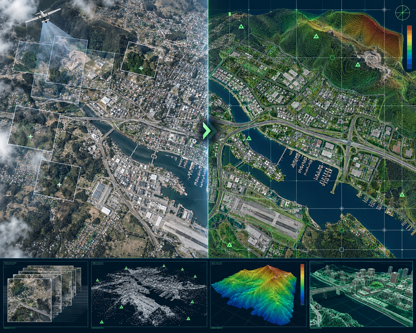
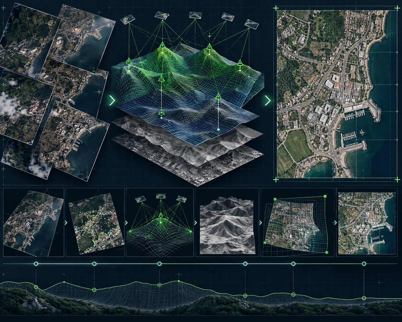
From Imagery to Map-Accurate Information
Orthophotos combine the visual richness of imagery with the geometric accuracy of a map, providing a reliable spatial foundation for mapping, engineering, infrastructure planning and GIS applications.
TriCAD provides end-to-end orthorectification, ortho-mosaic and True Ortho production services, transforming aerial, satellite and UAV imagery into accurate and application-ready geospatial products.
Our workflows combine photogrammetric expertise, terrain information, image processing and structured QA/QC to deliver consistent results across individual project sites as well as large-area mapping programs.
Our Orthophoto Capabilities
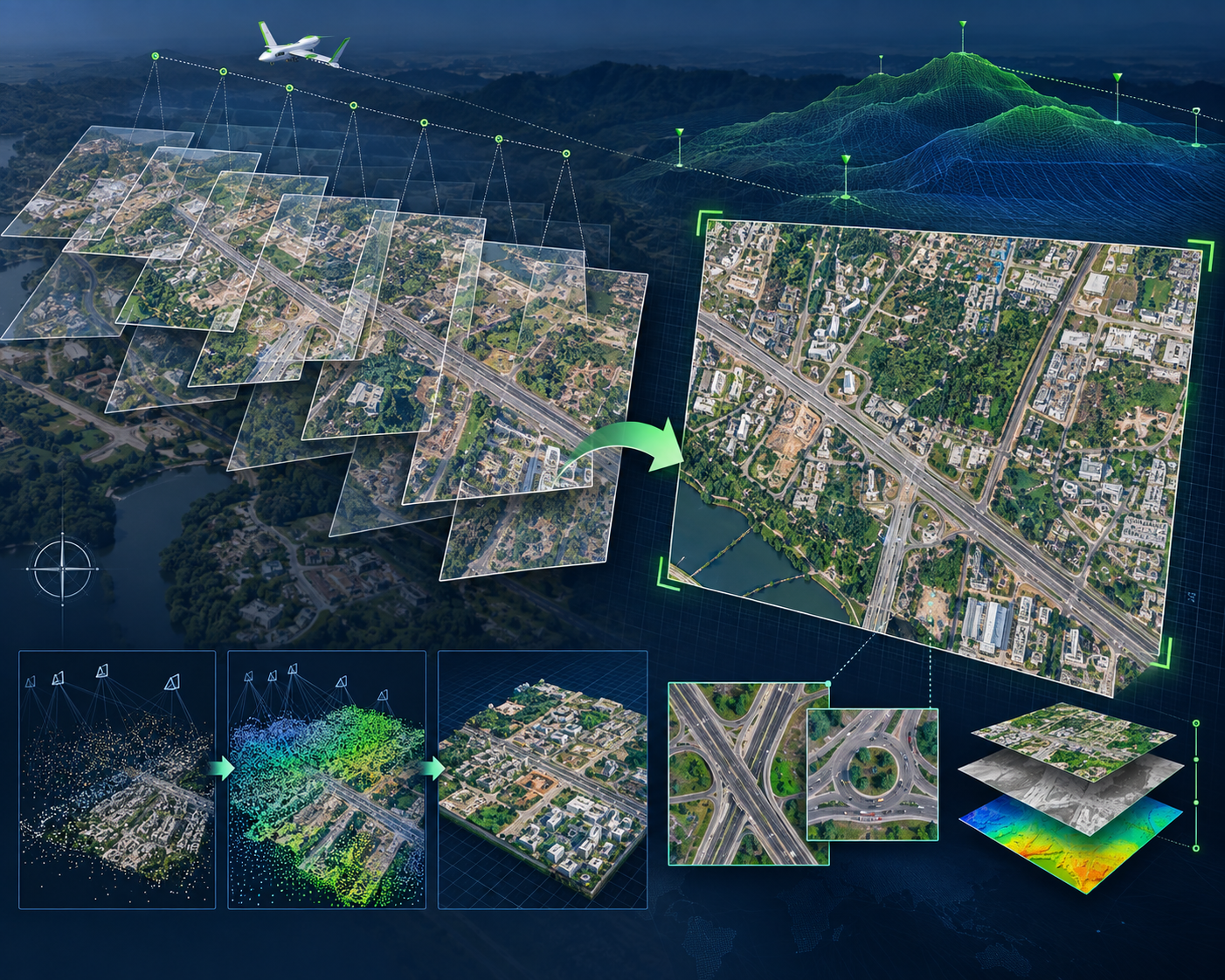
Aerial Orthophoto Production
High-accuracy orthorectification of aerial imagery using orientation parameters and elevation information to generate spatially accurate image products.
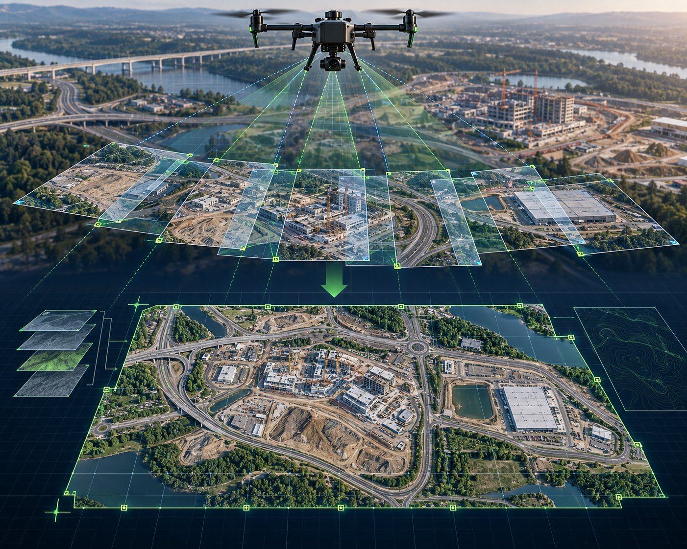
UAV / Drone Orthomosaics
Processing high-resolution UAV imagery into seamless orthomosaics for engineering, infrastructure, site mapping and asset applications.
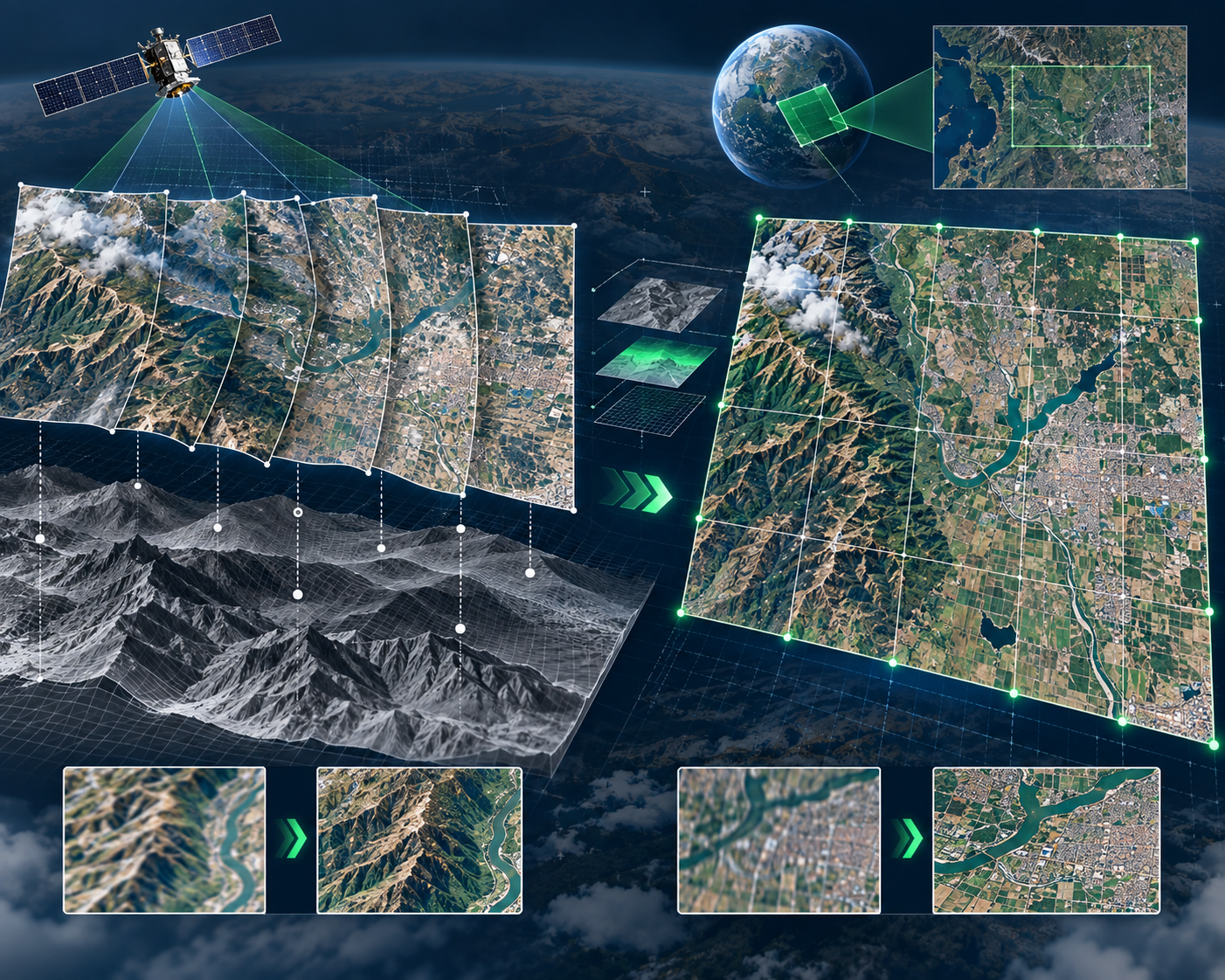
Satellite Orthorectification
Geometric correction and processing of satellite imagery to create map-accurate datasets for regional and large-area applications.
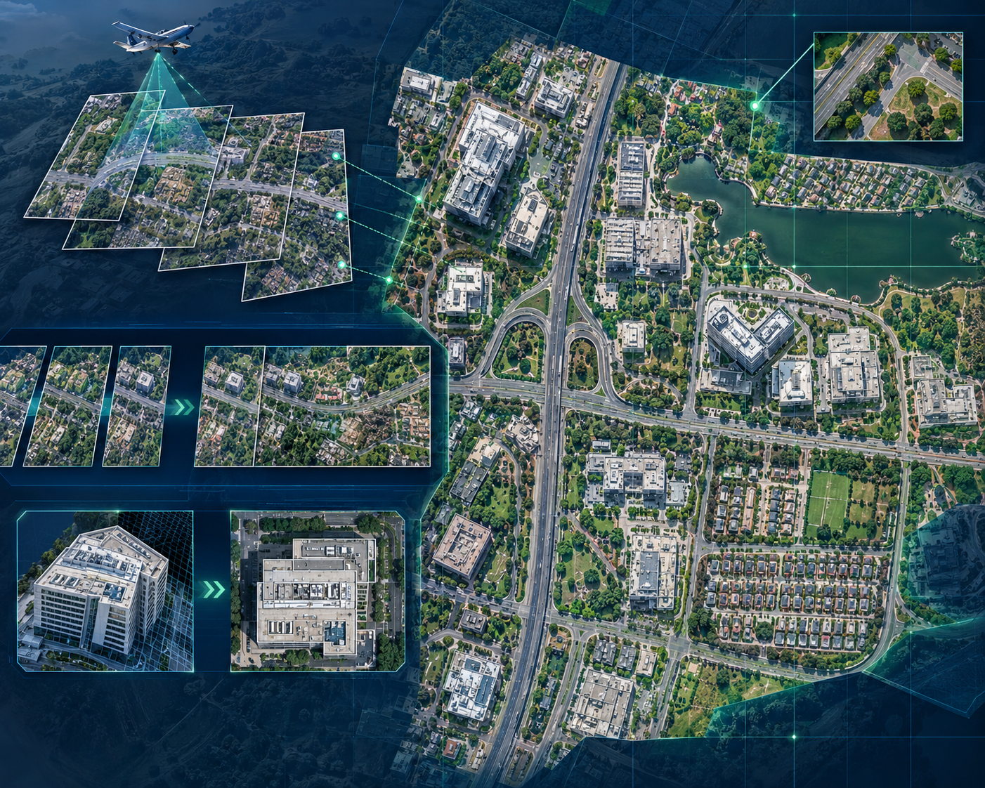
True Ortho & Seamless Mosaics
Generation of high-quality orthoimagery with improved representation of buildings and elevated features, supported by professional seamline and radiometric processing.
FROM IMAGERY TO MAP-ACCURATE REALITY.
Transform aerial, UAV and satellite imagery into accurate, seamless and GIS-ready orthophotos for mapping and engineering applications.