
LiDAR Analysis & Point Cloud Intelligence
Transforming complex LiDAR and reality-capture data into accurate, classified and engineering-ready spatial intelligence for Telecom, Utilities, Infrastructure, Land Mapping and Digital Twin applications.
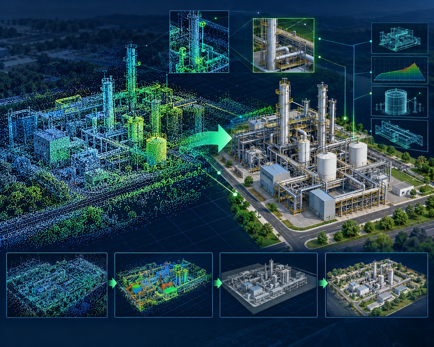
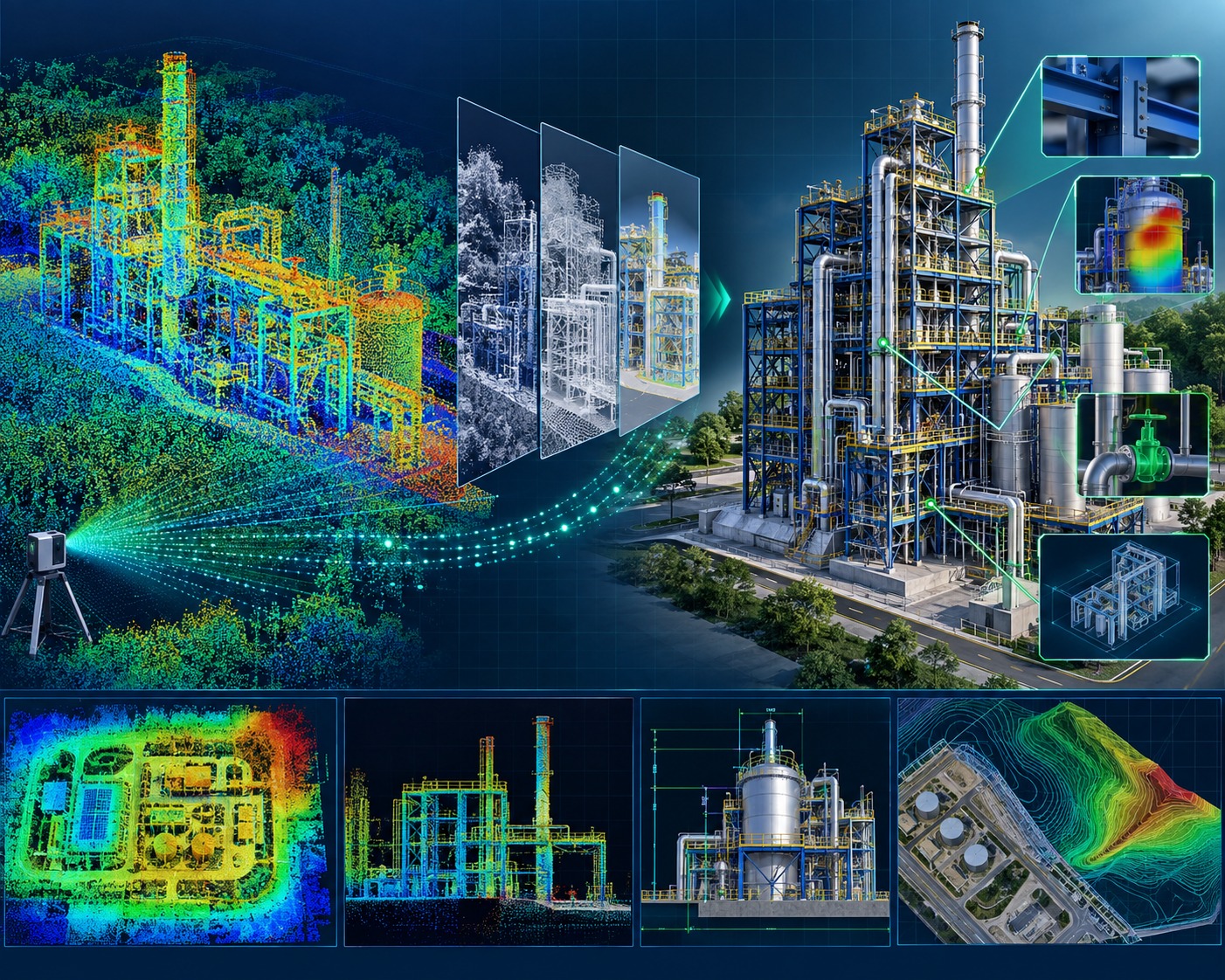
Turning LiDAR Data into Engineering Intelligence
LiDAR is no longer simply about capturing millions or billions of points. The real value lies in transforming point clouds into meaningful information that engineers, planners and asset owners can use.
TriCAD provides comprehensive LiDAR data processing, classification, feature extraction, modelling and analytics services, converting raw point-cloud data into structured and application-ready geospatial information.
Our experience spans aerial, mobile, terrestrial and UAV LiDAR datasets, supporting projects ranging from large-area terrain mapping to telecom networks, utility corridors, transportation infrastructure, urban environments and Digital Twins.
Our LiDAR Capabilities

LiDAR Point Cloud Processing
Processing large and complex LiDAR datasets into structured, accurate and application-ready point-cloud information.
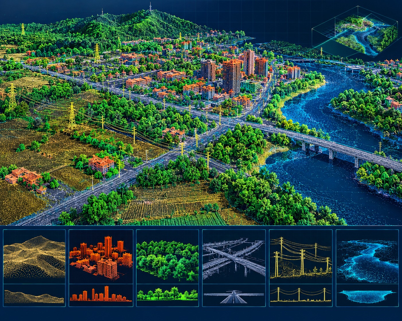
Point Cloud Classification
Classification of LiDAR point clouds into meaningful feature classes to support mapping, engineering and spatial analysis.
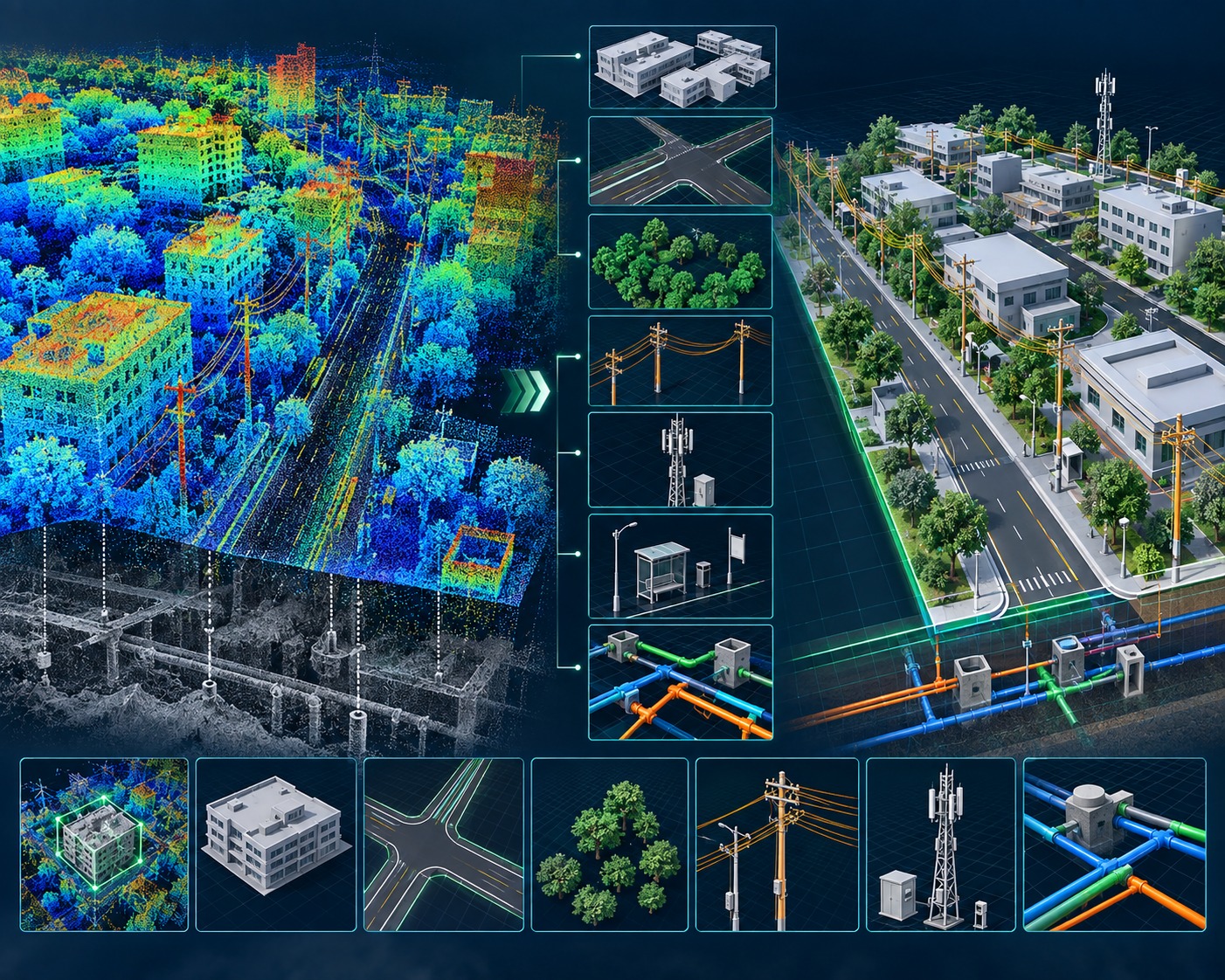
Feature & Asset Extraction
Transforming classified point clouds into usable GIS, CAD and engineering assets.
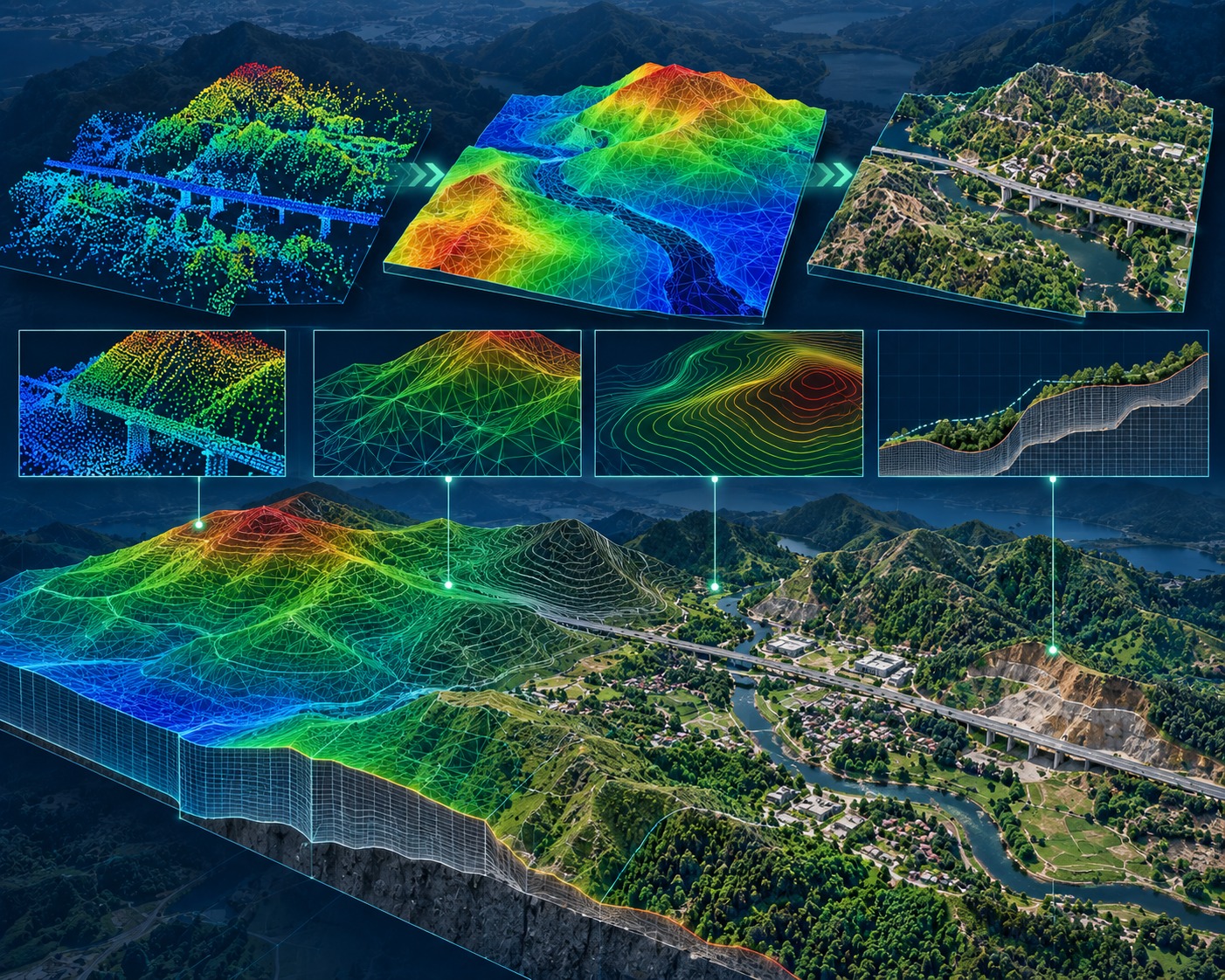
Terrain & Surface Modelling
Generation of accurate terrain and elevation products from LiDAR for engineering, mapping and infrastructure applications.
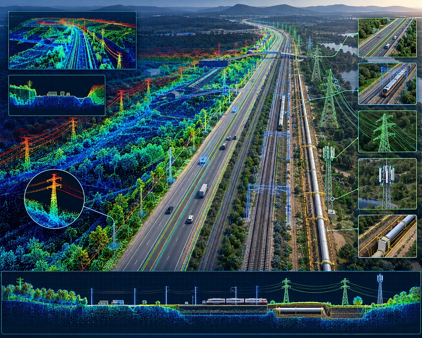
Corridor & Infrastructure Mapping
High-accuracy LiDAR analysis for linear infrastructure and corridor environments.
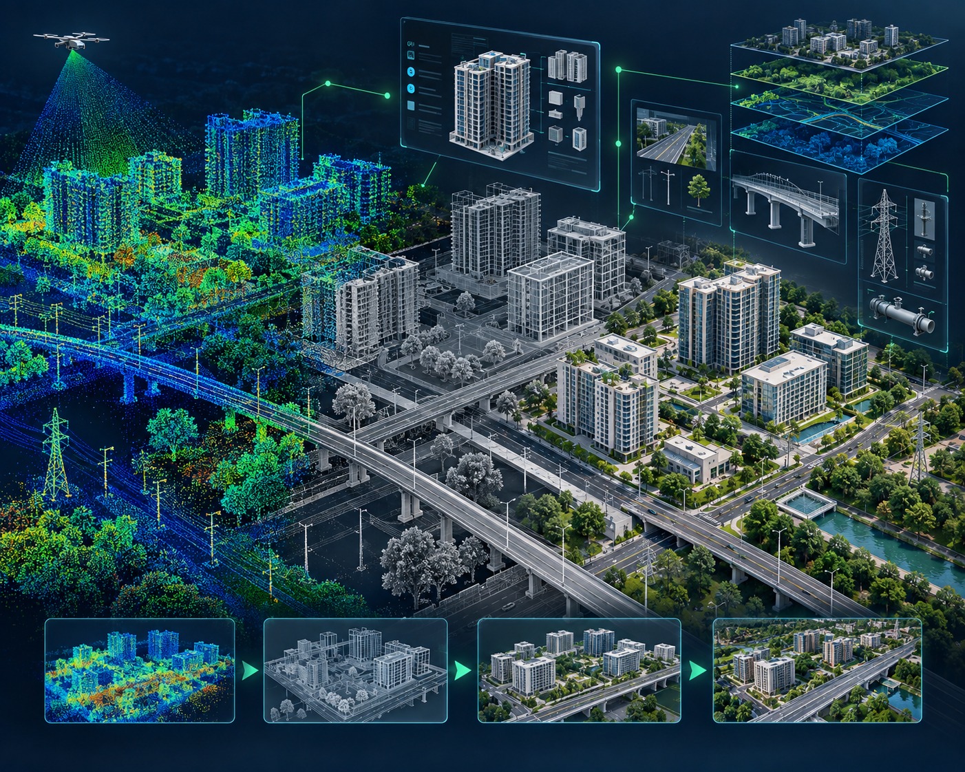
3D Modelling & Digital Twin Inputs
Converting LiDAR point clouds into structured 3D representations supporting GIS, BIM, engineering visualization and Digital Twin environments.
UNLOCK THE INTELLIGENCE IN YOUR POINT CLOUDS.
Turn complex LiDAR data into classified, accurate and actionable information for engineering, mapping and asset intelligence.