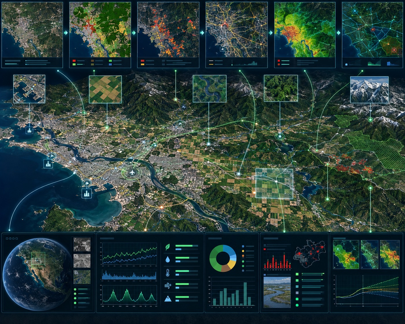
From Earth Observation to Actionable Intelligence.
Transforming satellite, aerial and multi-spectral imagery into meaningful geospatial information for mapping, infrastructure, environment, land management and decision-making.
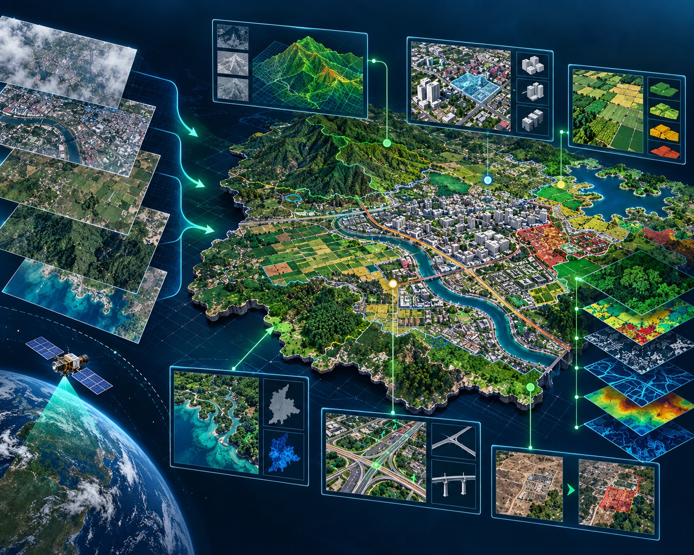
Turning Imagery into Spatial Intelligence
TriCAD provides Remote Sensing and Earth Observation services that transform imagery into accurate, application-ready geospatial information.
Combining remote sensing expertise with GIS, image processing and spatial analysis, we support customers in understanding land, infrastructure and environmental conditions across projects ranging from localized studies to large geographic areas.
Our approach focuses not simply on processing imagery, but on converting it into meaningful information that supports planning, monitoring and informed decision-making.
Our Remote Sensing Capabilities
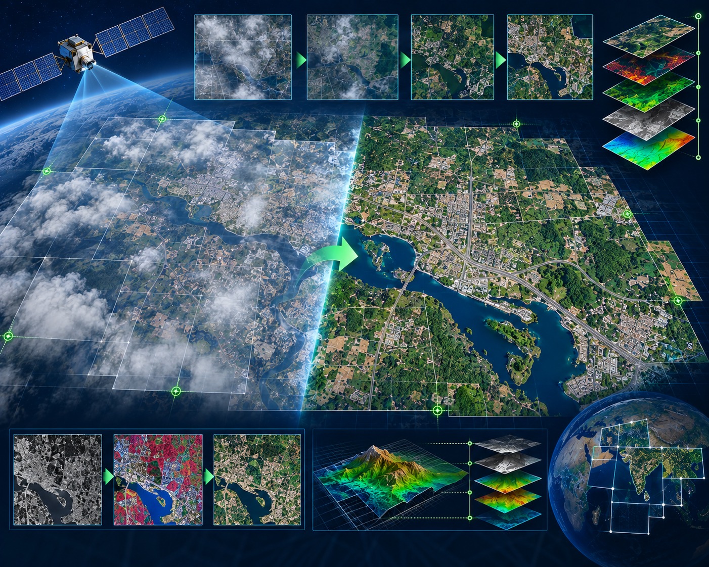
Satellite Image Processing
Processing and enhancement of satellite imagery to create accurate, analysis-ready datasets.
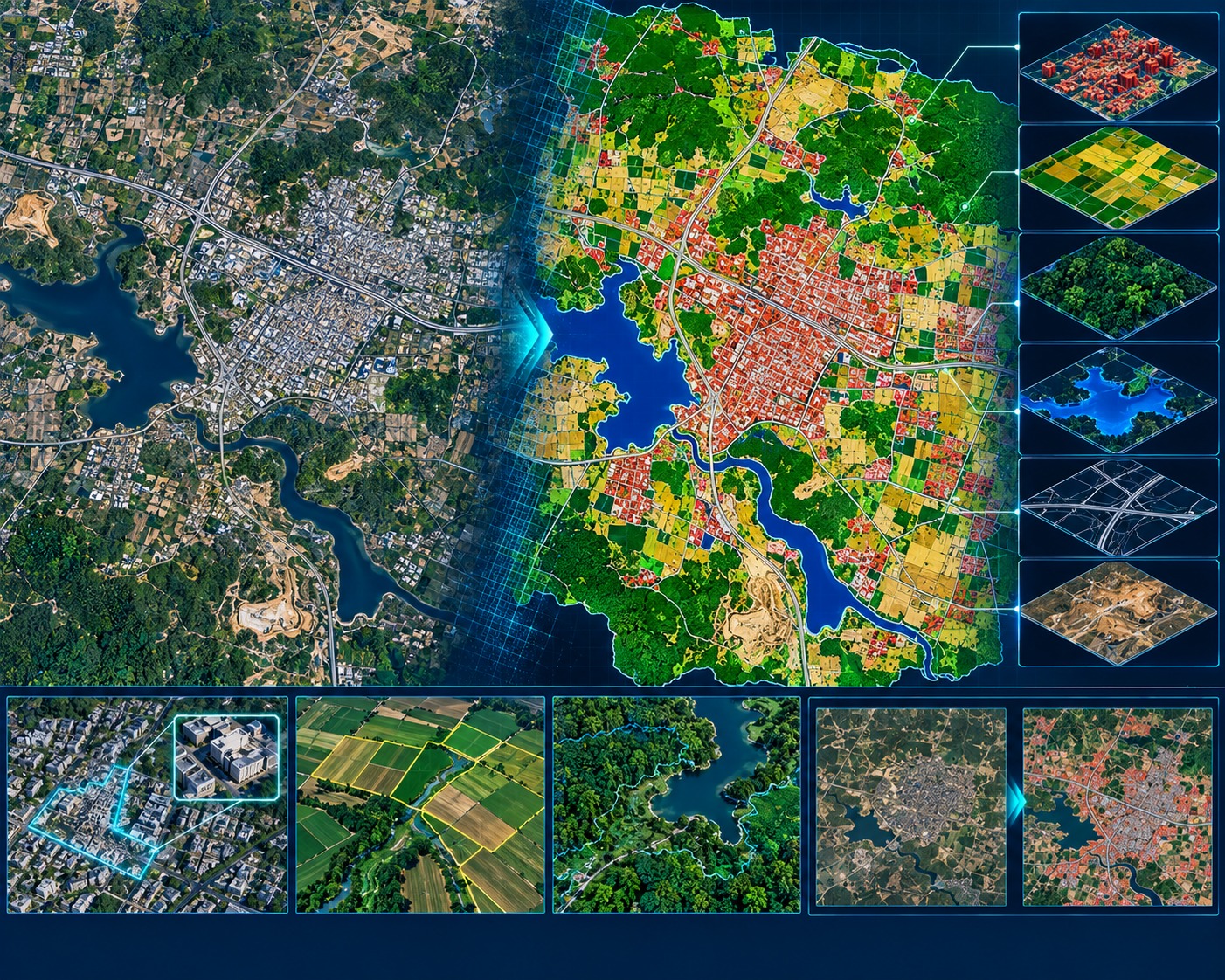
Land Use & Land Cover Mapping
Classification and interpretation of imagery to identify land-cover patterns and changes across urban, rural and natural environments.
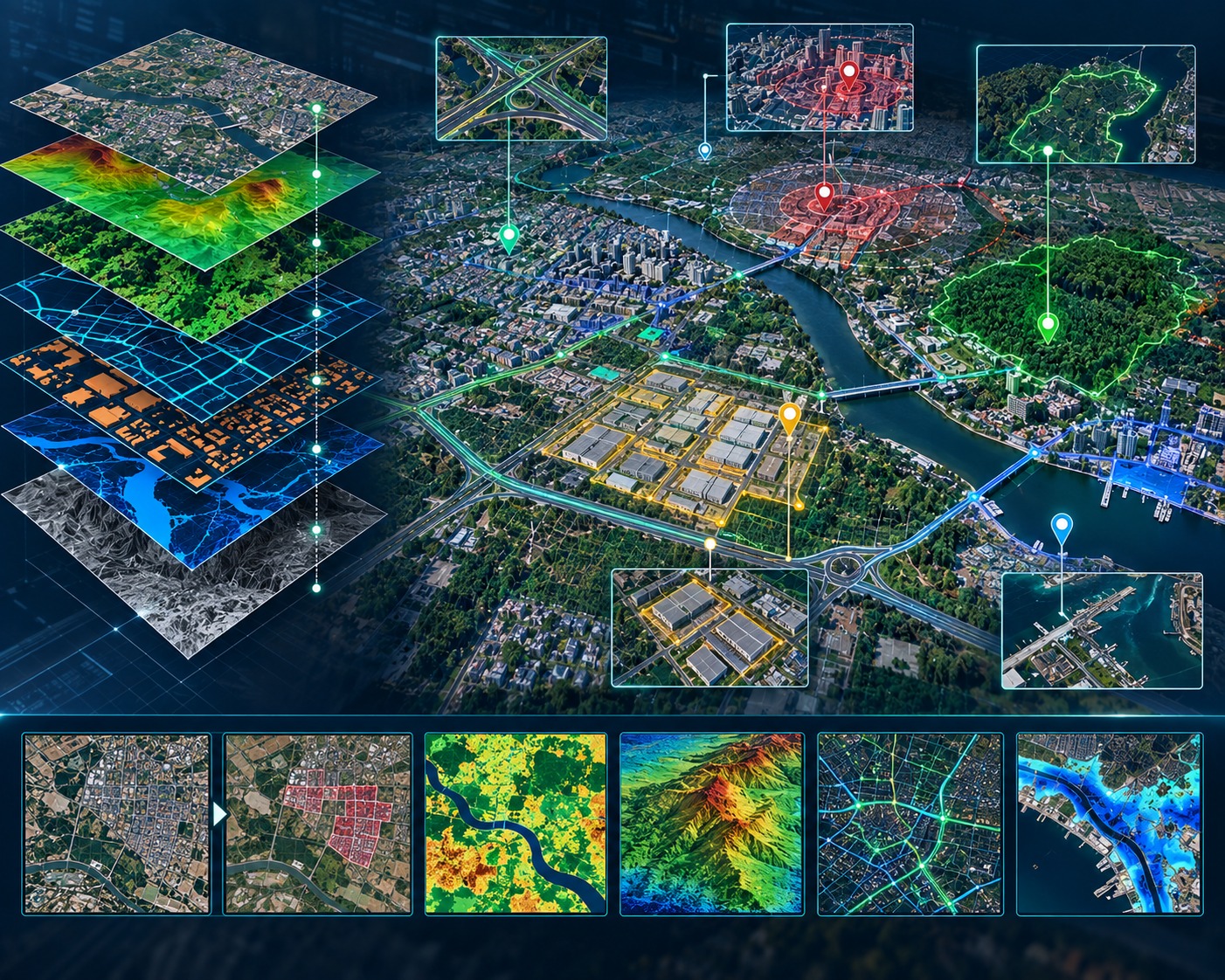
Image Intelligence & Spatial Analysis
Transforming imagery and derived information into meaningful geospatial intelligence for planning, monitoring and analysis.
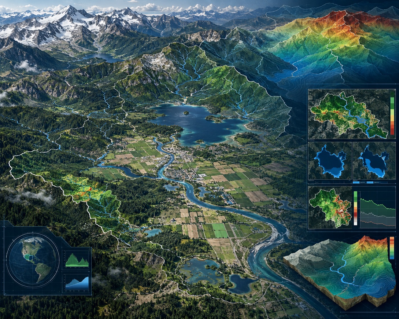
Environmental & Terrain Intelligence
Remote sensing analysis supporting the understanding of terrain, vegetation, water resources and environmental conditions.
SEE MORE. UNDERSTAND BETTER.
Turn Earth Observation data into actionable geospatial intelligence for mapping, infrastructure, environment and land-management programs.