
- Home
- Services
Geospatial & Engineering Services, Built to Deliver.
From reality capture to intelligent digital models — explore the full range of geospatial, engineering and AI-driven services TriCAD delivers for telecom, utilities, infrastructure and engineering clients worldwide.
Our Services
Nine specialised service lines, one integrated engineering and geospatial team.

Telecom
End-to-end Fiber and OSP Engineering services for telecom operators, broadband providers and ISPs—from network planning through construction-ready designs.
Explore Service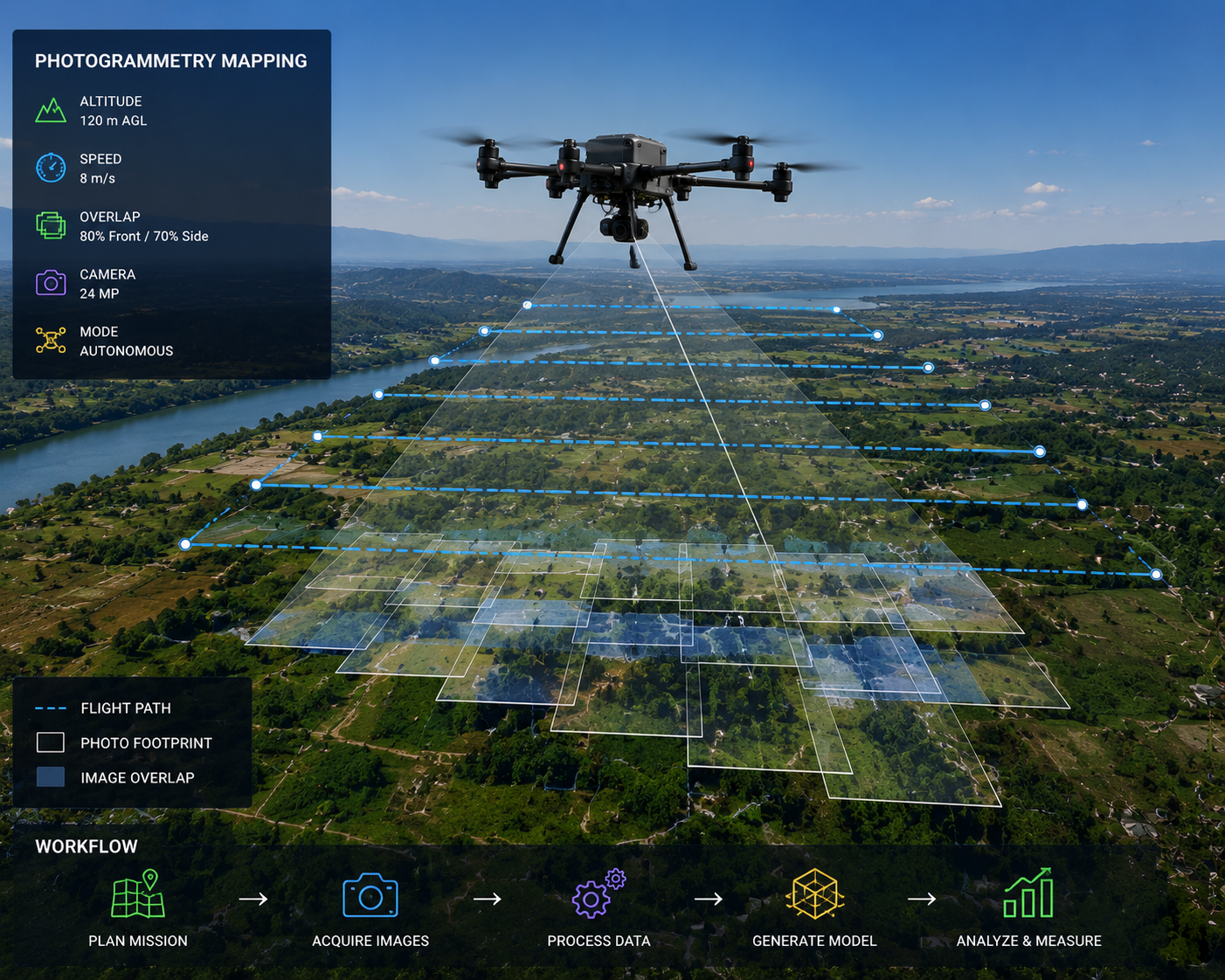
Photogrammetry
High-accuracy aerial, UAV, satellite and terrestrial photogrammetry services turning imagery into engineering-ready 2D and 3D geospatial information.
Explore Service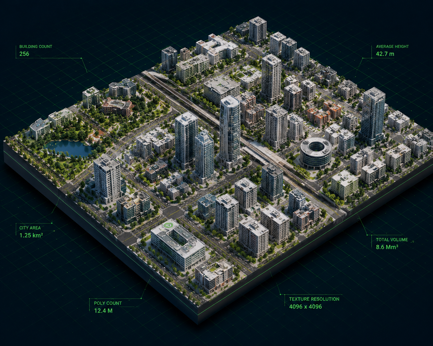
3D City Modelling
Accurate, georeferenced 3D city and building models built from photogrammetry, LiDAR and GIS data for planning, engineering and Digital Twin applications.
Explore Service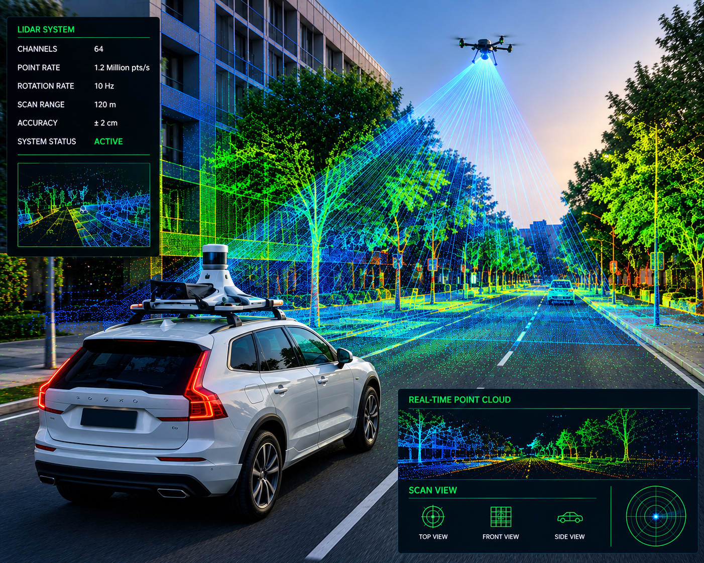
LiDAR
LiDAR data processing, classification, feature extraction and 3D modelling services turning point clouds into engineering-ready spatial intelligence.
Explore Service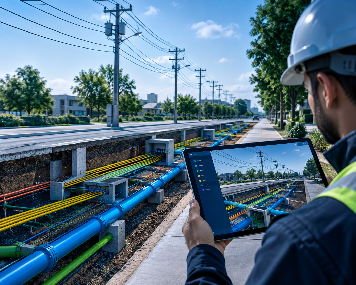
Utilities
Engineering and geospatial services for electric, joint-use and infrastructure networks—network mapping, asset intelligence, GIS modernization and design support.
Explore Service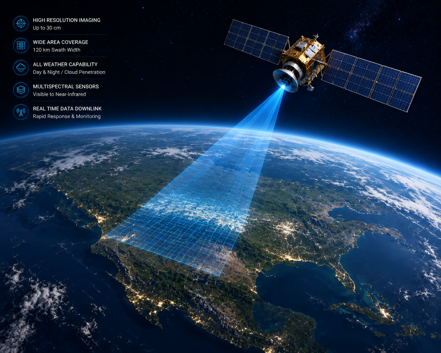
Remote Sensing
Satellite, aerial and multi-spectral image processing, land-cover mapping and environmental intelligence services for planning and infrastructure decisions.
Explore Service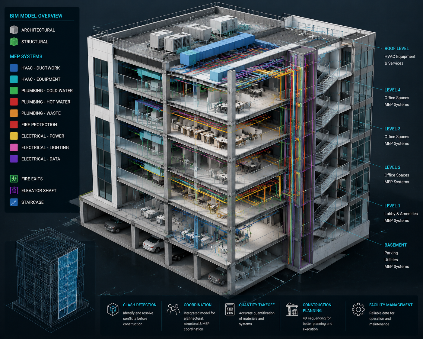
BIM
Scan-to-BIM, architectural BIM modelling and as-built BIM services turning point clouds, imagery and CAD data into information-rich digital models.
Explore Service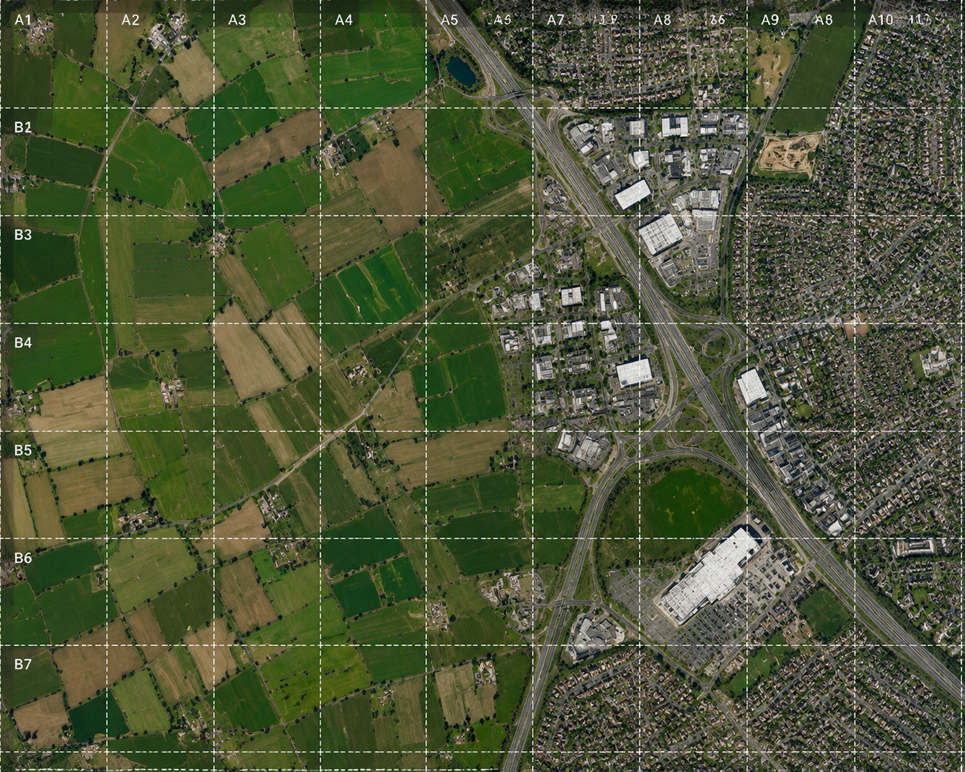
Orthophoto Generation
Aerial, UAV and satellite orthorectification services producing seamless, geometrically accurate orthophotos for mapping and infrastructure planning.
Explore Service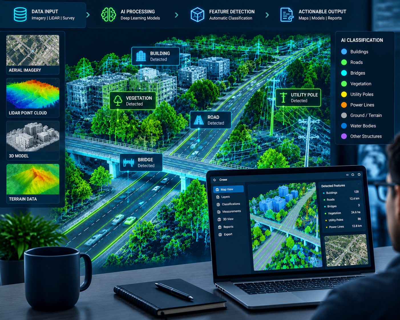
AI Engineering
Applying AI, automation and domain intelligence to transform complex engineering and geospatial data into faster, more accurate and scalable outcomes.
Explore ServiceNot sure which service fits your project?
Tell us what you're working on and our team will help you scope the right combination of services for your engineering and geospatial needs.